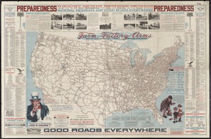
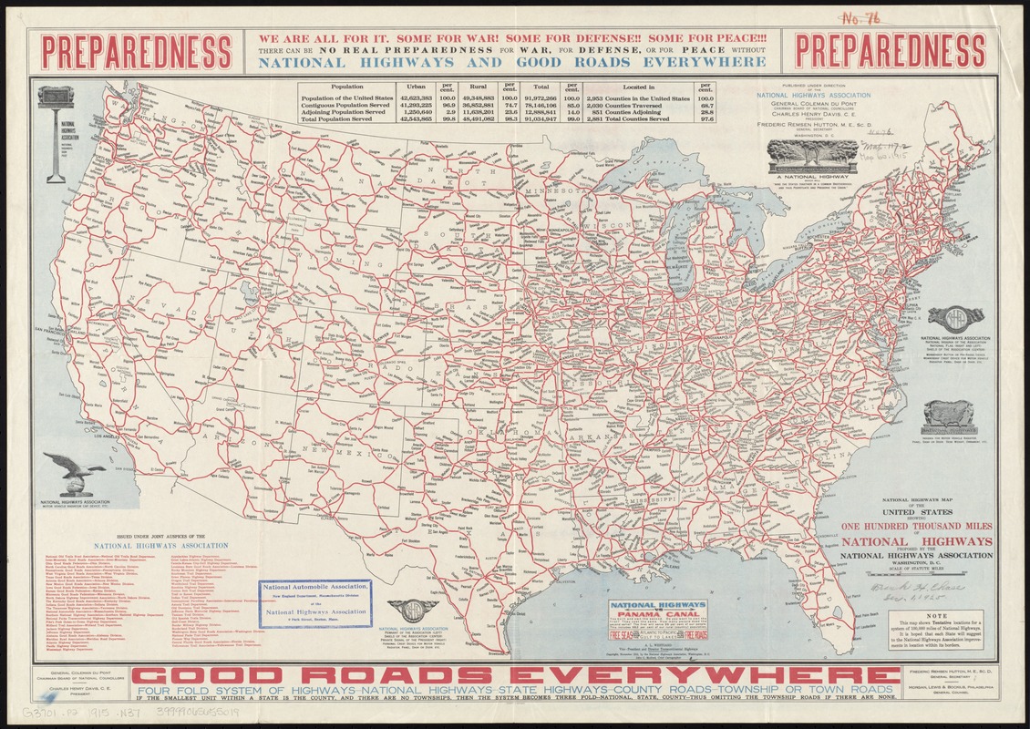
National highways map of the United States showing one hundred thousand miles of national highways proposed by the National Highways Association
Item Information
- Title:
- National highways map of the United States showing one hundred thousand miles of national highways proposed by the National Highways Association
- Name on Item:
-
John C. Mulford, chief cartographer ; published under direction of the National Highways Association.
- Date:
-
1915
- Format:
-
Maps/Atlases
- Location:
-
Boston Public Library
Norman B. Leventhal Map Center - Collection (local):
-
Norman B. Leventhal Map Center Collection
- Subjects:
-
Roads--United States--Maps
- Places:
-
- Extent:
- 1 map : col. ; 41 x 66 cm.
- Terms of Use:
-
No known copyright restrictions.
No known restrictions on use.
- Publisher:
-
Washington, D.C :
National Highways Association
- Scale:
-
Scale [ca. 1:7,300,000]
- Language:
-
English
- Notes:
-
This map shows tentative locations for a system of 100,000 miles of national highways.
"Issued under the joint auspices of the National Highways Association."
Includes illustrations, text, and tables.
- Identifier:
-
06_01_008592
- Call #:
-
G3701.P2 1915 .N37
- Barcode:
-
39999065655019