United States relief map
Item Information
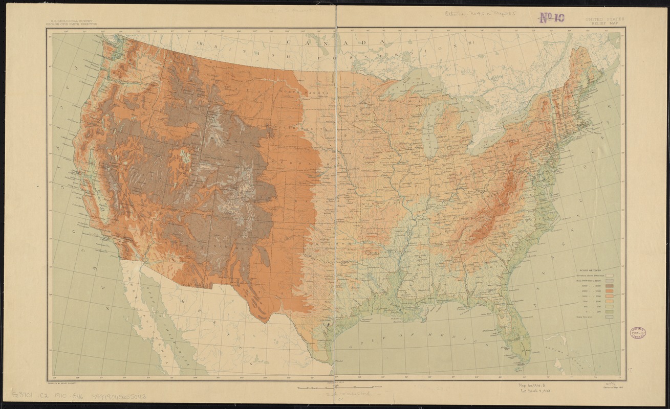
- Title:
- United States relief map
- Creator:
- Geological Survey (U.S.)
- Name on Item:
-
compiled by Henry Gannett.
- Date:
-
1910
- Format:
-
Maps/Atlases
- Location:
-
Boston Public Library
Norman B. Leventhal Map Center - Collection (local):
-
Norman B. Leventhal Map Center Collection
- Subjects:
-
United States--Maps
- Places:
-
- Extent:
- 1 map : col. ; 44 x 72 cm.
- Terms of Use:
-
No known copyright restrictions.
No known restrictions on use.
- Publisher:
-
[Washington] :
USGS
- Edition:
- Ed. of Mar. 1910.
- Scale:
-
Scale [ca. 1:7,000,000]
- Language:
-
English
- Notes:
-
Relief shown by contours and gradient tints.
- Identifier:
-
06_01_008595
- Call #:
-
G3701.C2 1910 .G46
- Barcode:
-
39999065655043


