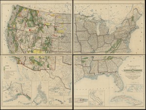
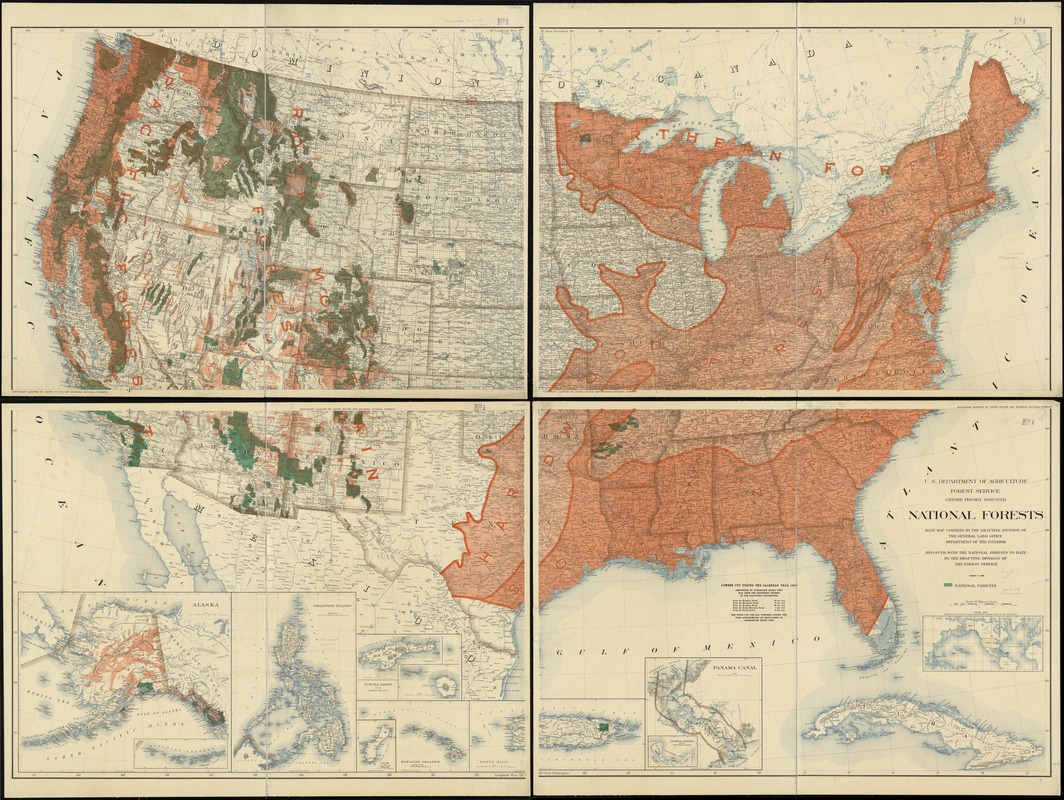
National forests
Item Information
- Title:
- National forests
- Creator:
- United States. Forest Service
- Name on Item:
-
U.S. Department of Agriculture, Forest Service.
- Date:
-
[1908]
- Format:
-
Maps/Atlases
- Location:
-
Boston Public Library
Norman B. Leventhal Map Center - Collection (local):
-
Norman B. Leventhal Map Center Collection
- Subjects:
-
Forests and forestry--United States--Maps
1908
- Places:
-
- Extent:
- 1 map on 4 sheets : mounted on linen, bisected, col. ; 150 x 210 cm., on sheets 82 x 112 cm. each.
- Terms of Use:
-
No known copyright restrictions.
No known restrictions on use.
- Publisher:
-
[Washington, D.C.] :
The Service
- Scale:
-
Scale [1:2,344,320]. 37 miles to 1 inch
- Language:
-
English
- Table of Contents:
-
Northeast Quarter
Northwest Quarter
Southeast Quarter
Southwest Quarter.
- Notes:
-
Relief shown by hachures and spot heights.
At head of title: Gifford Pinchot, Forester.
"March 17, 1908."
"Base map compiled by the Drafting Division of the General Land Office, Department of the Interior. Reissued with the national forests to date by the Drafting Division of the Forest Service."
National forests shown in green.
Map has public land grid of township and range lines.
Insets: Index map, showing relative position of Alaska and recently acquired islands to the United States -- Panama Canal -- Isthmus of Panama showing location of canal -- Porto Rico -- Hawaiian Islands -- Guam -- Tutuila Group of the Samoa Islands -- Philippine Islands -- Alaska.
Includes table "Lumber cut during the calendar year 1906" arranged by forest region.
- Notes (date):
-
This date is inferred.
- Identifier:
-
06_01_008563
- Call #:
-
G3701.K2 1908 .U55
- Barcode:
-
39999065654061