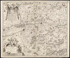
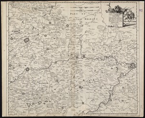
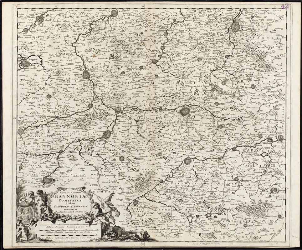
Nova et accurata Hannoniae comitatus
Item Information
- Title:
- Nova et accurata Hannoniae comitatus
- Title (alt.):
-
Collection of old maps
- Creator:
- Danckerts, Theodore.
- Name on Item:
-
authore Theodoro Danckerts.
- Date:
-
1696
- Format:
-
Maps/Atlases
- Location:
-
Boston Public Library
Norman B. Leventhal Map Center - Collection (local):
-
Norman B. Leventhal Map Center Collection
- Subjects:
-
Nord-Pas-de-Calais (France)--Maps--Early works to 1800
Hainaut (Belgium)--Maps--Early works to 1800
- Places:
-
FranceNord-Pas-de-Calais (region)
BelgiumWallonia (region)Hainaut, Province de (province)
- Extent:
- 1 map ; 50 x 57 cm.
- Terms of Use:
-
No known copyright restrictions.
No known restrictions on use.
- Publisher:
-
Amstelodami :
apud Cornelium Danckerts
- Scale:
-
Scale [ca. 1:75,000]
- Language:
-
Latin
- Notes:
-
Map of southern Belgium, with bordering areas in France.
Relief shown pictorially.
Verso is blank.
"Cum Privil. Ordin. Holl. et West Friesiae."
From Cornelius Danckerts' Atlas. Amstelodami : apud Cornelium Danckerts, in Platea vitulina vulgo de Nieuwendijk, in sigo de Atlas, [after 1696].
Text in Latin.
Cataloging, conservation, and digitization made possible in part by The National Endowment for the Humanities: Exploring the human endeavor.
Part of composite portfolio atlas with title "Collection of old maps."
- Identifier:
-
06_01_008897
- Call #:
-
G1015 .C65 1630
- Barcode:
-
30000003841193