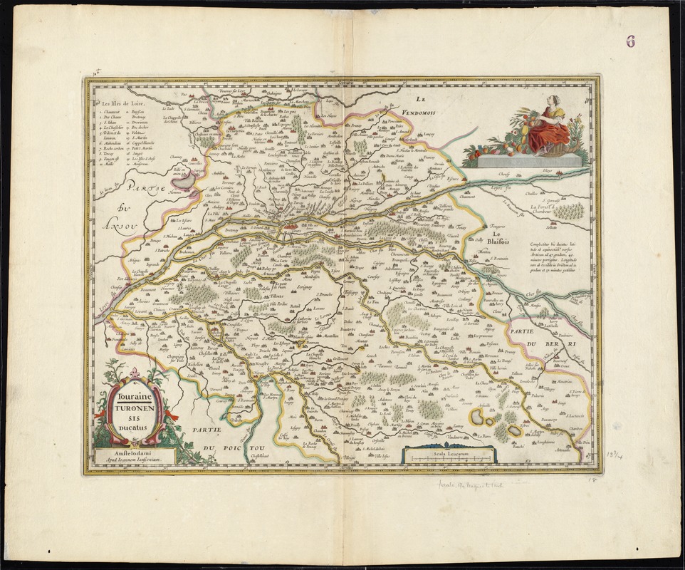
Touraine = Turonensis ducatus
Item Information
- Title:
- Touraine = Turonensis ducatus
- Title (alt.):
-
Turonensis ducatus
Collection of old maps
- Creator:
- Jansson, Jan, 1588-1664
- Date:
-
[1633]
- Format:
-
Maps/Atlases
- Location:
-
Boston Public Library
Norman B. Leventhal Map Center - Collection (local):
-
Norman B. Leventhal Map Center Collection
- Subjects:
-
Touraine (France)--Maps--Early works to 1800
Indre-et-Loire (France)--Maps--Early works to 1800
- Places:
-
FranceCentre (region)Département d'Indre-et-Loire
FranceCentre (region)Touraine (area)
- Extent:
- 1 map : hand col. ; 35 x 47 cm.
- Terms of Use:
-
No known copyright restrictions.
No known restrictions on use.
- Publisher:
-
Amstelodami :
Apud Ioannem Ianssonium
- Scale:
-
Scale [ca. 1:350,000]
- Language:
-
French
- Notes:
-
Map of the traditional Touraine province of France.
Includes index to places of interest.
Verso is blank.
Text in French and Latin.
Cataloging, conservation, and digitization made possible in part by The National Endowment for the Humanities: Exploring the human endeavor.
Part of composite portfolio atlas with title "Collection of old maps."
- Notes (date):
-
This date is inferred.
- Identifier:
-
06_01_008691
- Call #:
-
G1015 .C65 1630
- Barcode:
-
30000003829856


