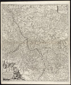
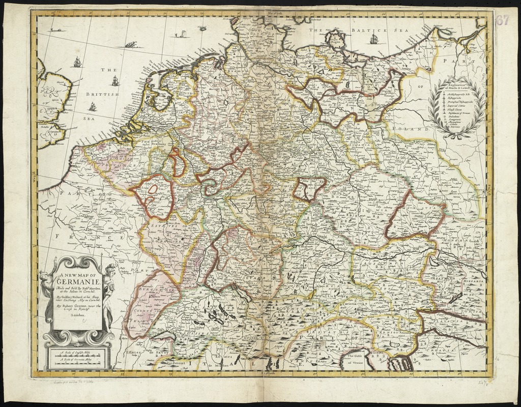
A new map of Germanie
Item Information
- Title:
- A new map of Germanie
- Title (alt.):
-
New map of Germany
Collection of old maps
- Creator:
- Morden, Robert, d. 1703
- Name on Item:
-
made and sold by Robt. Morden at the Atlas in Cornhill, by Godfrey Richard at his shop near Exchang Ally in Cornhill, by Robert Greene neer the Cross in Ratclif.
- Date:
-
[1673?]
- Format:
-
Maps/Atlases
- Location:
-
Boston Public Library
Norman B. Leventhal Map Center - Collection (local):
-
Norman B. Leventhal Map Center Collection
- Subjects:
-
Germany--Maps--Early works to 1800
- Places:
-
Germany
- Extent:
- 1 map : hand col. ; 42 x 53 cm.
- Terms of Use:
-
No known copyright restrictions.
No known restrictions on use.
- Publisher:
-
London :
sold by Robt. Morden ... Godfrey Richard ... Robert Greene
- Scale:
-
Scale [ca. 1: 2,750,000]
- Language:
-
English
- Notes:
-
Map of central Europe, from Germany south to Italy, including France and the Benelux Countries.
Relief shown pictorially.
Imprint derived from S. Tyacke's London Map Sellers, 1660-1720.
Cataloging, conservation, and digitization made possible in part by The National Endowment for the Humanities: Exploring the human endeavor.
Part of composite portfolio atlas with title "Collection of old maps."
- Identifier:
-
06_01_009963
- Call #:
-
G1015 .C651 1630
- Barcode:
-
30000003915841