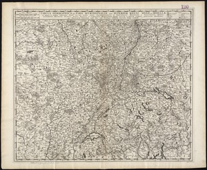
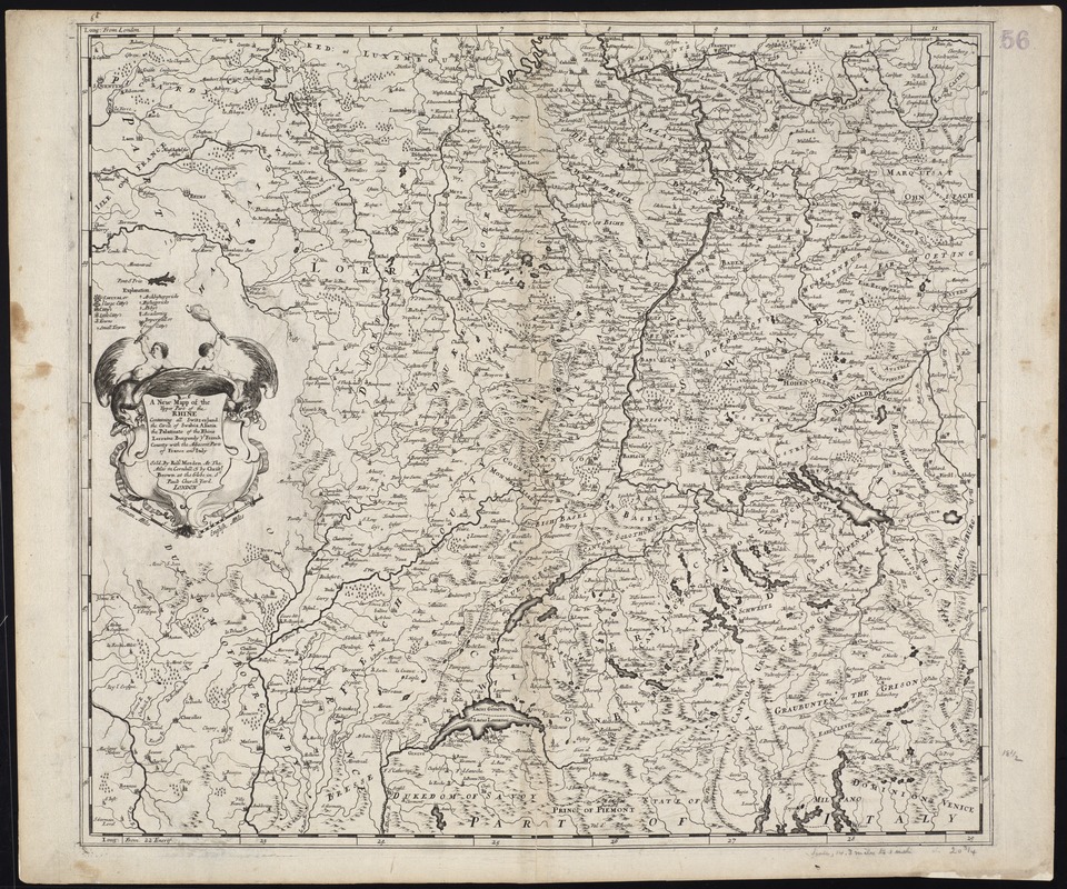
A new mapp of the upper part of the Rhine containing all Switzerland the circle of Swabia Alsatia the Palatine of the Rhine Lorraine Burgundy ye French County with the adjacent parts of France and Italy
Item Information
- Title:
- A new mapp of the upper part of the Rhine containing all Switzerland the circle of Swabia Alsatia the Palatine of the Rhine Lorraine Burgundy ye French County with the adjacent parts of France and Italy
- Title (alt.):
-
Collection of old maps
- Creator:
- Morden, Robert, d. 1703
- Date:
-
[1691?]
- Format:
-
Maps/Atlases
- Location:
-
Boston Public Library
Norman B. Leventhal Map Center - Collection (local):
-
Norman B. Leventhal Map Center Collection
- Subjects:
-
Switzerland--Maps--Early works to 1800
Germany--Maps--Early works to 1800
France--Maps--Early works to 1800
- Places:
-
France
Germany
Switzerland
- Extent:
- 1 map ; 48 x 53 cm.
- Terms of Use:
-
No known copyright restrictions.
No known restrictions on use.
- Publisher:
-
London :
Sold by Robt. Morden at the Atlas in Cornhill & by Christr. Brown at the Globe in St. Pauls Church Yard
- Scale:
-
Scale [ca. 1:1,080,000]
- Language:
-
English
- Notes:
-
Relief shown pictorially.
Illustrated title cartouche.
Imprint derived from S. Tyacke's London Map Sellers, 1660-1720, p. 51.
Cataloging, conservation, and digitization made possible in part by The National Endowment for the Humanities: Exploring the human endeavor.
Part of composite portfolio atlas with title "Collection of old maps."
- Identifier:
-
06_01_009930
- Call #:
-
G1015 .C651 1630
- Barcode:
-
30000003911817