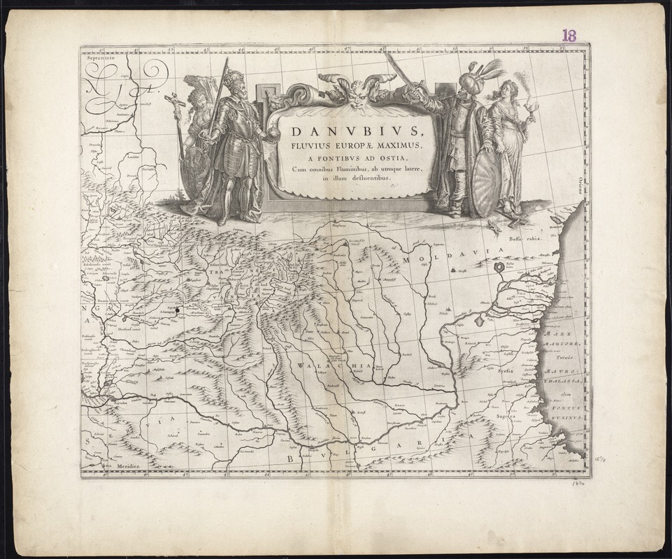
Danubius, fluvius Europae maximus, a fontibus ad ostia, cum omnibus fluminibus, ab utroque latere, in illum defluentibus
Item Information
- Title:
- Danubius, fluvius Europae maximus, a fontibus ad ostia, cum omnibus fluminibus, ab utroque latere, in illum defluentibus
- Title (alt.):
-
Collection of old maps
- Creator:
- Blaeu, Willem Janszoon, 1571-1638
- Date:
-
[ca. 1635]
- Format:
-
Maps/Atlases
- Location:
-
Boston Public Library
Norman B. Leventhal Map Center - Collection (local):
-
Norman B. Leventhal Map Center Collection
- Subjects:
-
Danube River--Maps--Early works to 1800
- Places:
-
Danube River
- Extent:
- 1 map on 2 sheets ; 41 x 96 cm.
- Terms of Use:
-
No known copyright restrictions.
No known restrictions on use.
- Publisher:
-
Amsterdam :
Willem Blaeu
- Scale:
-
Scale [ca. 1:2,000,000]
- Language:
-
Latin
- Notes:
-
Map of the Danube River.
Relief shown pictorially.
Includes elaborate cartouche.
Boston Public Library holds eastern sheet only.
Cataloging, conservation, and digitization made possible in part by The National Endowment for the Humanities: Exploring the human endeavor.
Part of composite portfolio atlas with title "Collection of old maps."
- Identifier:
-
06_01_009646
- Call #:
-
G1015 .C651 1630
- Barcode:
-
30000003874630


