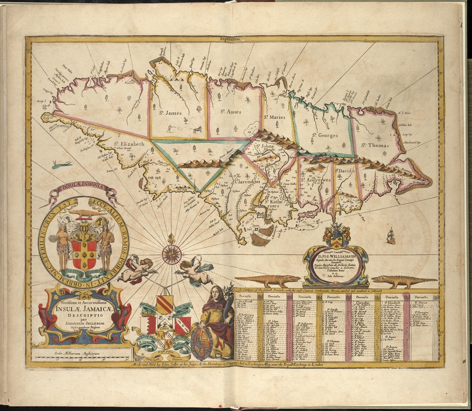
Novissima et accuratissima Insulae Jamaicae
Item Information
- Title:
- Novissima et accuratissima Insulae Jamaicae
- Creator:
- Seller, John, fl. 1658-1698
- Name on Item:
-
descriptio per Johannem Sellerum.
- Date:
-
[1672?]
- Format:
-
Maps/Atlases
- Location:
-
Boston Public Library
Norman B. Leventhal Map Center - Collection (local):
-
Norman B. Leventhal Map Center Collection
- Subjects:
-
Nautical charts--Jamaica--Early works to 1800
Jamaica--Maps--Early works to 1800
- Places:
-
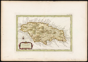
Jamaica
- Extent:
- 1 map : hand col. ; 41 x 53 cm.
- Terms of Use:
-
No known copyright restrictions.
No known restrictions on use.
- Publisher:
-
London :
John Seller
- Scale:
-
Scale [ca. 1:610,000]
- Language:
-
Latin
English
- Notes:
-
Relief shown pictorially.
Includes list of property owners and crops produced at plantations.
Shows arms of the four Governors, the island's insignia, a dedication and other illustrations.
Appears in the author's Atlas maritimus, or A book of charts. London : John Seller, [1672?]
Cataloging, conservation, and digitization made possible in part by The National Endowment for the Humanities: Exploring the human endeavor.
Atlas scanned by Internet Archive http://archive.org/details/atlasmaritimusor00sell
- Identifier:
-
06_01_008265
- Call #:
-
G1059 .S45 1672
- Barcode:
-
30000003778577