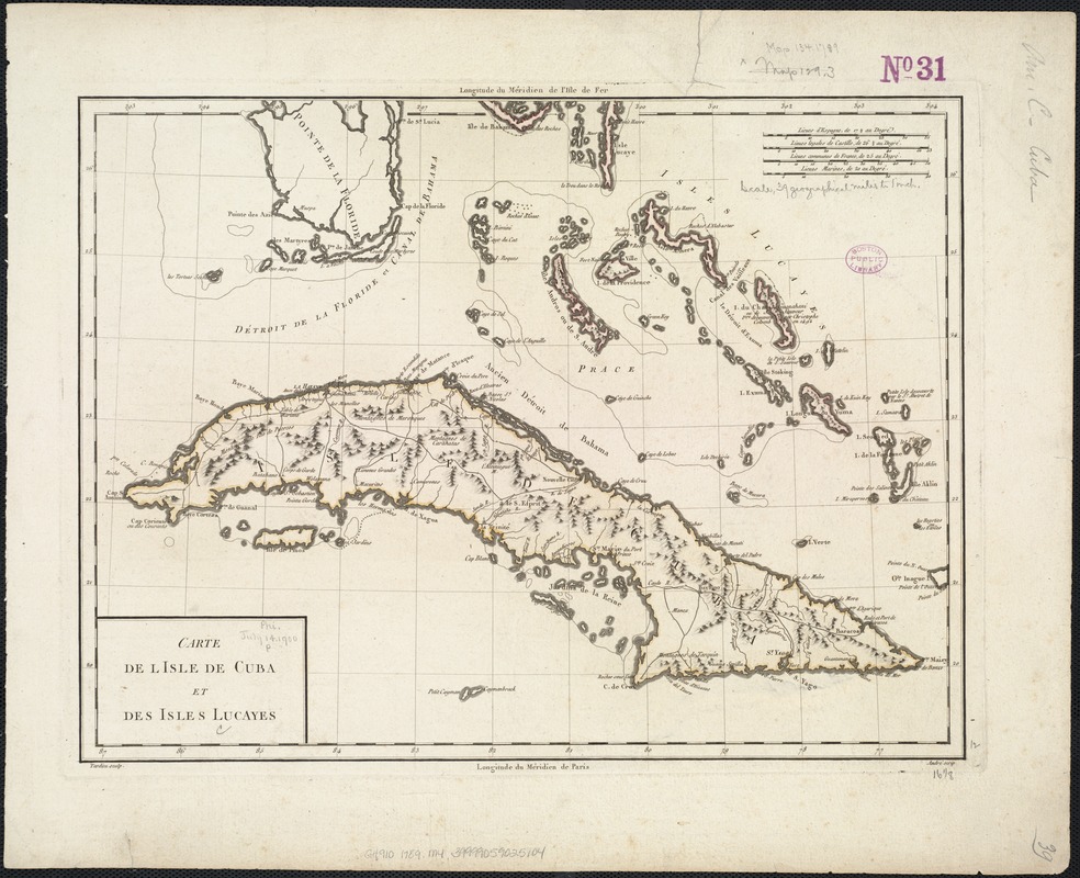
Carte de l'Isle de Cuba et des Isles Lucayes
This map is also available in American Revolutionary Geographies Online (ARGO), a collections portal especially built for material relating to the American Revolutionary War Era. Visit ARGO to learn more about this item and explore the historical geography of North America in the late eighteenth century.
Item Information
- Title:
- Carte de l'Isle de Cuba et des Isles Lucayes
- Creator:
- Mentelle, E. (Edme), 1730-1815
- Name on Item:
-
Tardieu sculp. ; Andre scrip.
- Date:
-
[1789?]
- Format:
-
Maps/Atlases
- Location:
-
Boston Public Library
Norman B. Leventhal Map Center - Collection (local):
-
Norman B. Leventhal Map Center Collection
- Subjects:
-
Cuba--Maps--Early works to 1800
Bahamas--Maps--Early works to 1800
- Places:
-
Cuba
Bahamas
- Extent:
- 1 map : col. ; 32 x 41 cm.
- Terms of Use:
-
No known copyright restrictions.
No known restrictions on use.
- Publisher:
-
Paris :
s.n.
- Scale:
-
Scale [ca. 1:2,770,000].
- Language:
-
French
- Notes:
-
Relief shown pictorially.
Cataloging, conservation, and digitization made possible in part by The National Endowment for the Humanities: Exploring the human endeavor.
- Identifier:
-
06_01_007881
- Call #:
-
G4910 1789 .M4
- Barcode:
-
39999059025104


