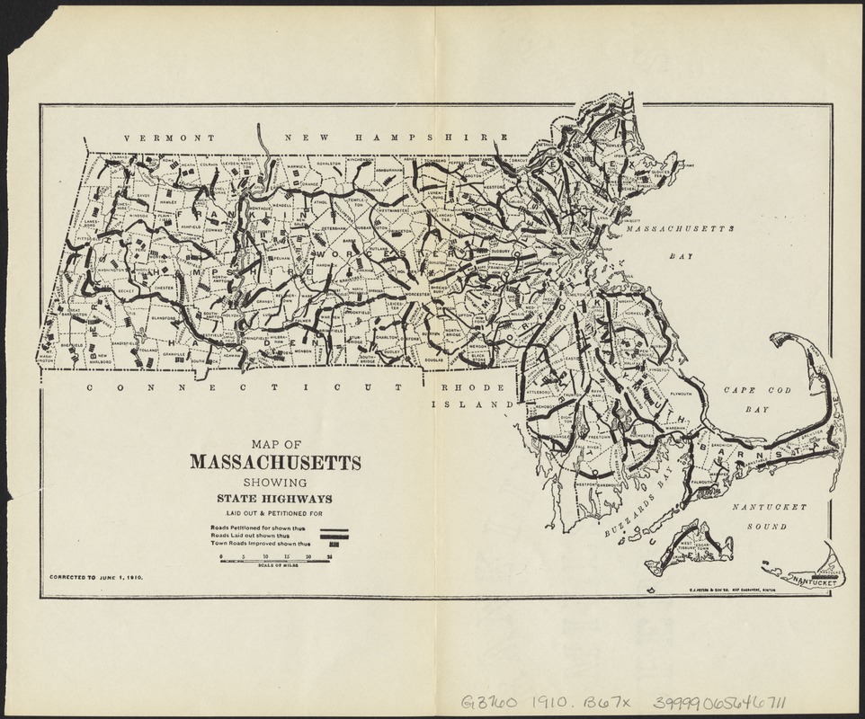
Map of Massachusetts showing state highways laid out & petitioned for
Item Information
- Title:
- Map of Massachusetts showing state highways laid out & petitioned for
- Title (alt.):
-
Map of Massachusetts showing state highways laid out and petitioned for
- Creator:
- Boston (Mass.). Committee of Finance
- Date:
-
[1911]
- Format:
-
Maps/Atlases
- Location:
-
Boston Public Library
Norman B. Leventhal Map Center - Collection (local):
-
Norman B. Leventhal Map Center Collection
- Subjects:
-
Roads--Massachusetts
Massachusetts--Maps
- Places:
-
Massachusetts
- Extent:
- 1 map ; 16 x 25 cm.
- Terms of Use:
-
No known copyright restrictions.
No known restrictions on use.
- Publisher:
-
Boston :
The Commission
- Scale:
-
Scale ca. 1:1,140,480.
- Language:
-
English
- Notes:
-
Corrected to June 1, 1910.
"C.J. Peters & Son, Map Engravers, Boston."
- Notes (date):
-
This date is inferred.
- Identifier:
-
06_01_007661
- Call #:
-
G3760 1910 .B67x
- Barcode:
-
39999065646711


