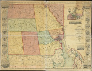
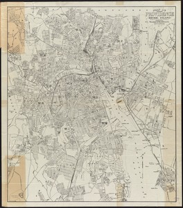
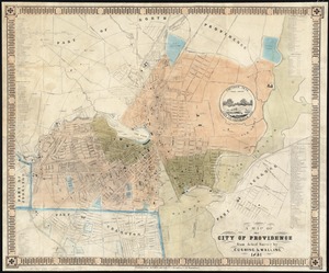
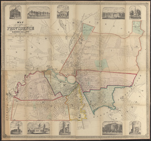
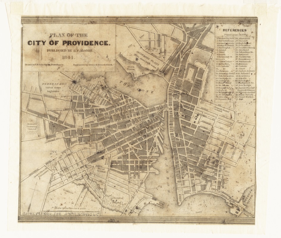
Plan of the city of Providence
Item Information
- Title:
- Plan of the city of Providence
- Creator:
- Schubarth, N. B
- Name on Item:
-
drawn by N.B. Schubarth ; engraved by Story & Atwood.
- Date:
-
1844
- Format:
-
Maps/Atlases
- Location:
-
Boston Public Library
Norman B. Leventhal Map Center - Collection (local):
-
Norman B. Leventhal Map Center Collection
- Subjects:
-
Streets--Rhode Island--Providence--Maps
Providence (R.I.)--Maps
- Places:
-
Providence (county)Providence
- Extent:
- 1 map ; 17 x 21 cm.
- Terms of Use:
-
No known copyright restrictions.
No known restrictions on use.
- Publisher:
-
Providence :
B.F. Moore
- Scale:
-
Scale 1:15,840. 4 in. to 1 mile.
- Language:
-
English
- Notes:
-
Indexed.
Leventhal Map Center copy gift of Bank of America.
- Identifier:
-
06_01_007643
- Call #:
-
G3774.P9 1844 .S38
- Barcode:
-
39999065646265