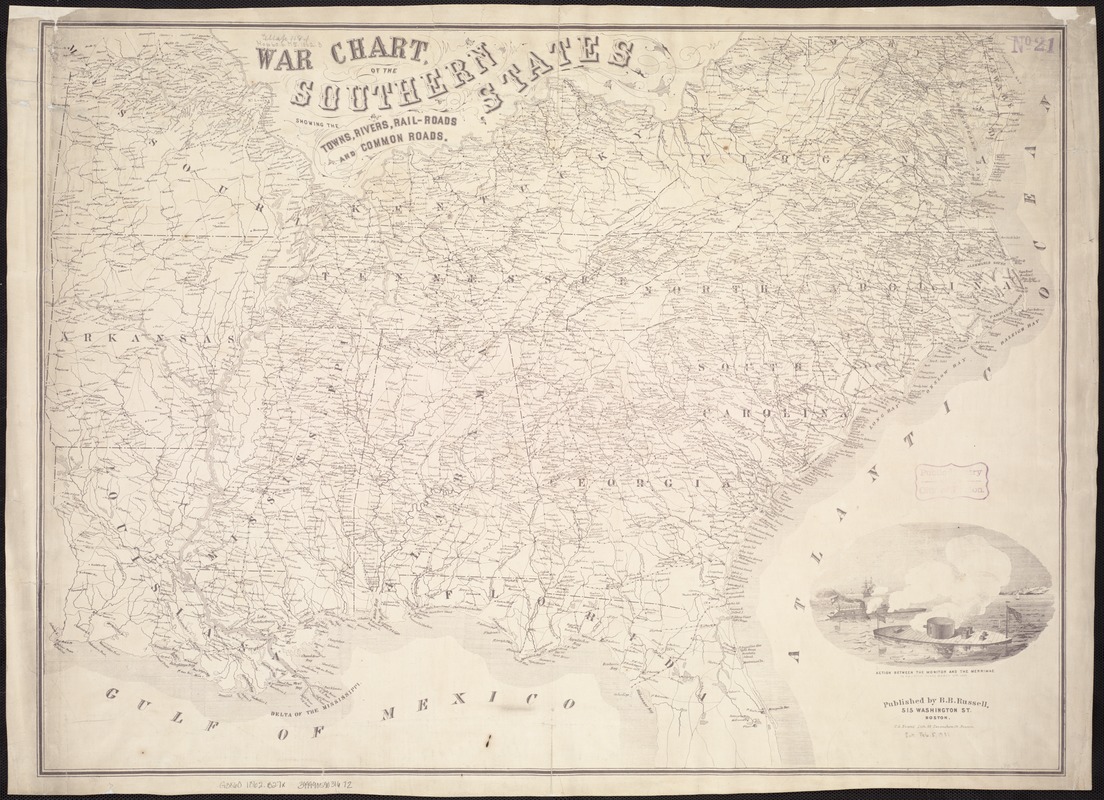
War chart of the Southern States showing the towns, rivers, rail-roads and common roads
Item Information
- Title:
- War chart of the Southern States showing the towns, rivers, rail-roads and common roads
- Creator:
- B.B. Russell & Co
- Date:
-
[1862?]
- Format:
-
Maps/Atlases
- Location:
-
Boston Public Library
Norman B. Leventhal Map Center - Collection (local):
-
Norman B. Leventhal Map Center Collection
- Subjects:
-
Confederate States of America--History--Maps
- Places:
-
Confederate States of America (area)
- Extent:
- 1 map ; 57 x 78 cm.
- Terms of Use:
-
No known copyright restrictions.
No known restrictions on use.
- Publisher:
-
Boston :
B.B. Russell
- Scale:
-
Scale not given.
- Language:
-
English
- Notes:
-
Inset: Action between the Monitor and the Merrimac in Hampton Roads March 9th 1862.
- Identifier:
-
06_01_007464
- Call #:
-
G3860 1862 .B27x
- Barcode:
-
39999059031672


