Map of part of Virginia, Maryland and Delaware from the best authorities
Item Information
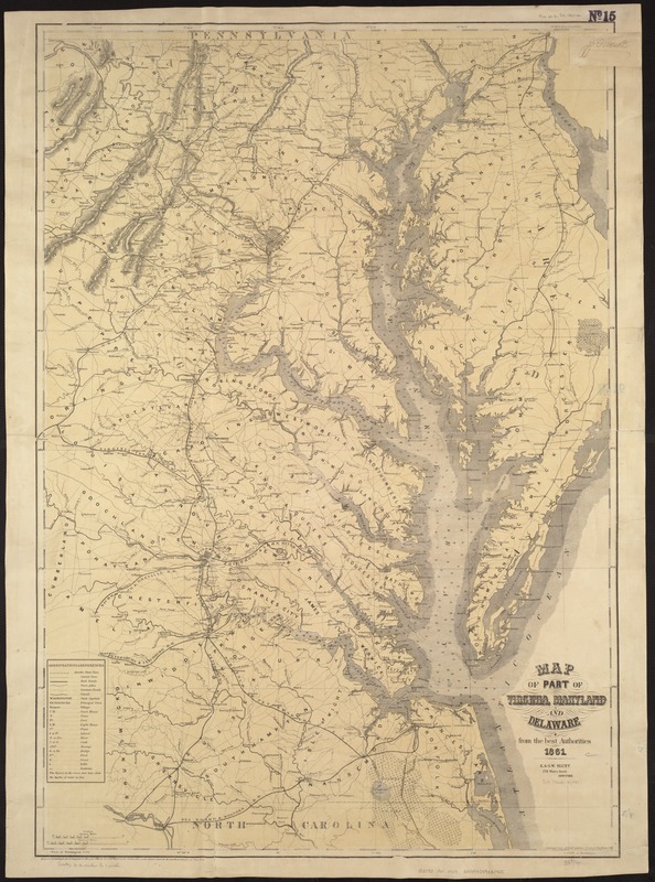
- Title:
- Map of part of Virginia, Maryland and Delaware from the best authorities
- Creator:
- Heyne, Chas. (Charles)
- Name on Item:
-
compiled from official sources & drawn by Chas. Heyne C.E.
- Date:
-
1861
- Format:
-
Maps/Atlases
- Location:
-
Boston Public Library
Norman B. Leventhal Map Center - Collection (local):
-
Norman B. Leventhal Map Center Collection
- Subjects:
-
Middle Atlantic States--Maps
- Places:
-
Middle Atlantic (area)
- Extent:
- 1 map : col. ; 97 x 66 cm.
- Terms of Use:
-
No known copyright restrictions.
No known restrictions on use.
- Publisher:
-
New York :
E. & G.W. Blunt
- Scale:
-
Scale ca. 1:400,000.
- Language:
-
English
- Notes:
-
Another issue.
Lithographer's name has been dropped. Forts Corcoran, Runyon, Albany, and Ellsworth are shown on the Virginia side of the Potomac River at Washington, DC.
Description derived from published bibliography.
- Identifier:
-
06_01_007472
- Call #:
-
G3790 1861 .H49
- Barcode:
-
39999059031755
- LCCN:
-
99447000


