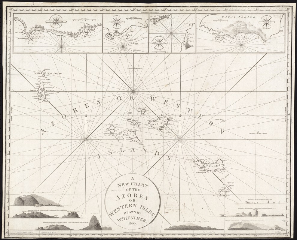
A new chart of the Azores or Western Isles
Item Information
- Title:
- A new chart of the Azores or Western Isles
- Creator:
- Heather, William, 1764-1812
- Name on Item:
-
drawn by W[illia]m Heather ; J. Stephenson sculpsit.
- Date:
-
1803
- Format:
-
Maps/Atlases
- Location:
-
Boston Public Library
Norman B. Leventhal Map Center - Collection (local):
-
Norman B. Leventhal Map Center Collection
- Subjects:
-
Azores--Maps
- Places:
-
Azores (region)
- Extent:
- 1 chart ; 64 x 78 cm.
- Terms of Use:
-
No known copyright restrictions.
No known restrictions on use.
- Publisher:
-
London :
William Heather
- Scale:
-
Scale [ca. 1:1,020,000].
- Language:
-
English
- Notes:
-
Relief shown pictorially.
In a collection of charts by William Heather.
Insets: Villa Franche -- Angra Bay -- Fayal, [by William Heather] -- Fayal & Pico, by Cha[rle]s Chapman -- coastal profiles.
Cataloging, conservation, and digitization made possible in part by The National Endowment for the Humanities: Exploring the human endeavor.
- Identifier:
-
06_01_007353
- Call #:
-
G9130 1803 .H43
- Barcode:
-
39999059030633


