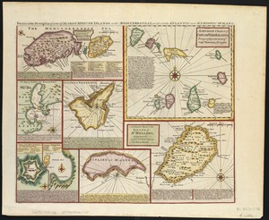
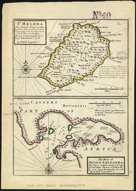
St. Helena : this island belongs to ye English east India Company whose ships usually touch here for a recruit of fresh water and provisions ... ; The bay of Agao de Saldanha, this bay is 70 miles north of ye Cape of Good Hope
Item Information
- Title:
- St. Helena : this island belongs to ye English east India Company whose ships usually touch here for a recruit of fresh water and provisions ... ; The bay of Agao de Saldanha, this bay is 70 miles north of ye Cape of Good Hope
- Title (alt.):
-
Bay of Agao de Saldanha, this bay is 70 miles north of ye Cape of Good Hope
- Creator:
- Moll, Herman, d. 1732
- Publisher:
- Bowles, John, 1701-1779
- Publisher:
- Bowles, Thomas, 1694-1773
- Name on Item:
-
by H. Moll ...
- Date:
-
[1732–1736]
- Format:
-
Maps/Atlases
- Location:
-
Boston Public Library
Norman B. Leventhal Map Center - Collection (local):
-
Norman B. Leventhal Map Center Collection
- Subjects:
-
Saint Helena--Maps--Early works to 1800
Saldanha Bay (South Africa)--Maps--Early works to 1800
- Places:
-
Saint Helena, Ascension and Tristan da Cunha (territory)Saint Helena (island)
Saldanha Bay
- Extent:
- 2 maps on 1 sheet : col. ; each 14 x 21 cm, on sheet 28 x 21 cm.
- Terms of Use:
-
No known copyright restrictions.
No known restrictions on use.
- Publisher:
-
London :
Printed for Tho. Bowles and John Bowles
- Scale:
-
Scale [1:160,000].
Scale [1:585,000].
- Language:
-
English
- Notes:
-
Relief shown pictorially ; depth given in fathoms.
Numbered 43.
London meridian.
Appears in the author's Atlas minor. London: Thomas Bowles and John Bowles, 1732? or 1736?
Island of St. Helena ; Saldanha Bay, South Africa.
- Notes (date):
-
This date is inferred.
- Identifier:
-
06_01_007145
- Call #:
-
G9170 1732 .M65x
- Barcode:
-
39999059029940