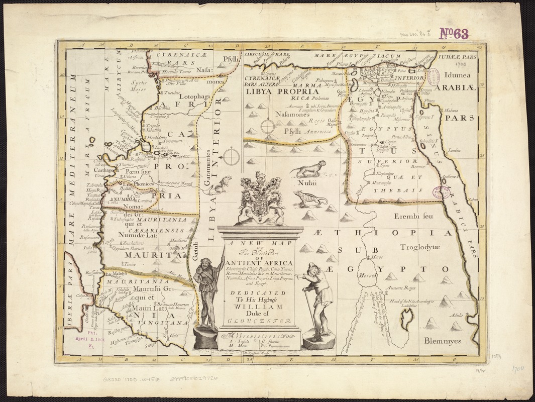
A new map of the north part of antient Africa shewing the chiefe people, cities, towns, rivers, mountains, &c. in Mauritania, Numidia, Africa Propria, Libya Propria and Egypt : dedicated to His Highness William, Duke of Gloucester
Item Information
- Title:
- A new map of the north part of antient Africa shewing the chiefe people, cities, towns, rivers, mountains, &c. in Mauritania, Numidia, Africa Propria, Libya Propria and Egypt : dedicated to His Highness William, Duke of Gloucester
- Creator:
- Wells, Edward, 1667-1727
- Name on Item:
-
R. Spofforth sculp.
- Date:
-
[1700?]
- Format:
-
Maps/Atlases
- Location:
-
Boston Public Library
Norman B. Leventhal Map Center - Collection (local):
-
Norman B. Leventhal Map Center Collection
- Subjects:
-
Africa, North--Historical geography--Maps--Early works to 1800
- Places:
-
North Africa (area)
- Extent:
- 2 maps on 1 sheet : col. ; 35 x 20 cm and 35 x 27 cm, on sheet 45 x 60 cm.
- Terms of Use:
-
No known copyright restrictions.
No known restrictions on use.
- Publisher:
-
Oxford :
Printed at the Theater
- Scale:
-
Scale [ca. 1:9,500,000].
Scale [ca. 1:6,500,000].
- Language:
-
English
- Table of Contents:
-
[Northwestern Africa]. Scale [ca. 1:9,500,000]. Oriented with north to the left
[Northeastern Africa]. Scale [ca. 1:6.500,000].
- Notes:
-
Relief shown pictorially.
Shows drainage, etc.
Appears in the author's A new sett of maps both of antient and present geography. Oxford: Printed at the Theater, 1700.
- Identifier:
-
06_01_007113
- Call #:
-
G8220 1700 .W45x
- Barcode:
-
39999059029726


