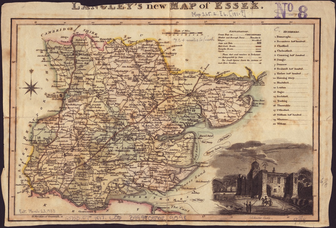
Langley's new map of Essex
Item Information
- Title:
- Langley's new map of Essex
- Creator:
- Langley, Edward.
- Publisher:
- Langley & Belch
- Date:
-
[1817]
- Format:
-
Maps/Atlases
- Location:
-
Boston Public Library
Norman B. Leventhal Map Center - Collection (local):
-
Norman B. Leventhal Map Center Collection
- Subjects:
-
Essex (England)--Maps
- Places:
-
EnglandEssex (county)
- Extent:
- 1 map : col. ; 16 x 25 cm.
- Terms of Use:
-
No known copyright restrictions.
No known restrictions on use.
- Publisher:
-
London :
Printed and published by Langley & Belch
- Scale:
-
Scale [1:488,000].
- Language:
-
English
- Notes:
-
Relief shown by hachures.
Vignette: "Colchester Castle."
List of hundreds.
Greenwich meridian.
Appears in Langley's new county atlas of England and Wales.
County of Essex.
- Notes (date):
-
This date is inferred.
- Identifier:
-
06_01_007011
- Call #:
-
G5753.E7 1817 .L36
- Barcode:
-
39999059029098