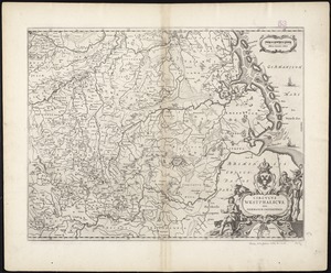
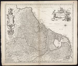
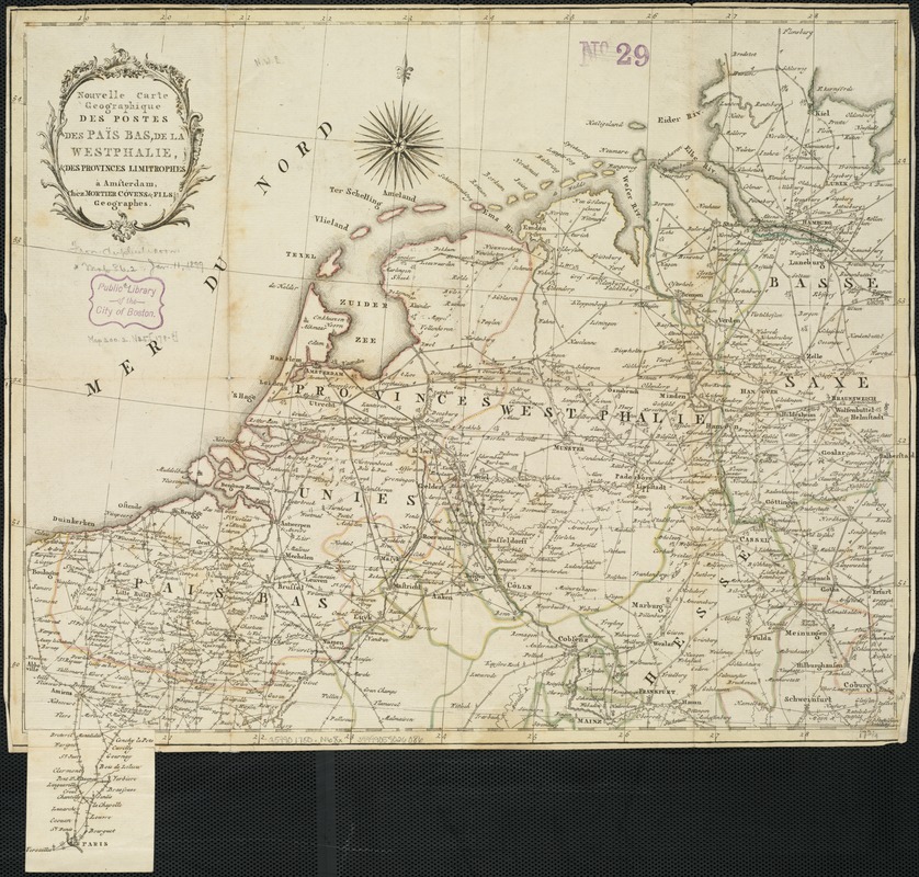
Nouvelle carte geographique des postes des Païs Bas, de la Westphalie, & des provinces limitrophes
Item Information
- Title:
- Nouvelle carte geographique des postes des Païs Bas, de la Westphalie, & des provinces limitrophes
- Title (alt.):
-
Routes des postes des Pays Bas de la Westohalie et des provinces limitrophes
- Date:
-
[1780?]
- Format:
-
Maps/Atlases
- Location:
-
Boston Public Library
Norman B. Leventhal Map Center - Collection (local):
-
Norman B. Leventhal Map Center Collection
- Subjects:
-
Benelux countries--Maps--Early works to 1800
Westphalia (Germany)--Maps--Early works to 1800
- Places:
-
GermanyNorth Rhine-WestphaliaWestphalia (area)
Low Countries (area)
- Extent:
- 1 map : outline col. ; 37 x 45 cm.
- Terms of Use:
-
No known copyright restrictions.
No known restrictions on use.
- Publisher:
-
A Amsterdam :
Chéz Mortier Cóvens & Fils
- Scale:
-
Scale not given
- Language:
-
French
- Notes:
-
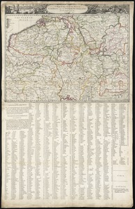
Includes continuation of map on slip from Amiens to Paris.
Inside cover: Explication des marques et figures.
- Identifier:
-
06_01_006493
- Call #:
-
G5990 1780 .N68x
- Barcode:
-
39999059026086