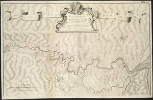
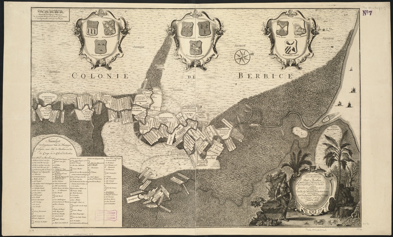
Naaukeurige platte grond van den staat loop van Rio de Berbice met derzelver plantagien in de geoctrojeerde colonie de Berbice
Item Information
- Title:
- Naaukeurige platte grond van den staat loop van Rio de Berbice met derzelver plantagien in de geoctrojeerde colonie de Berbice
- Creator:
- Knapp, Jan Daniel.
- Name on Item:
-
door den ingenieur Jan Danl: Knapp.
- Date:
-
[1720]
- Format:
-
Maps/Atlases
- Location:
-
Boston Public Library
Norman B. Leventhal Map Center - Collection (local):
-
Norman B. Leventhal Map Center Collection
- Subjects:
-
Berbice River (Guyana)--Maps--Early works to 1800
Berbice--Maps--Early works to 1800
- Places:
-
GuyanaBerbice River
- Extent:
- 1 map ; 57 x 85 cm.
- Terms of Use:
-
No known copyright restrictions.
No known restrictions on use.
- Publisher:
-
Amsterdam :
Hend: de Leth in de Visscher
- Scale:
-
Scale 1:314,957.
- Language:
-
Dutch
- Notes:
-
Oriented with north toward the upper right.
Plantations labelled with names of owners.
Additional cartouches exhibit 6 coats of arms of prominent members of colony.
Cataloging, conservation, and digitization made possible in part by The National Endowment for the Humanities: Exploring the human endeavor.
- Notes (date):
-
This date is inferred.
- Identifier:
-
06_01_006454
- Call #:
-
G5252.B4 1720 .K63
- Barcode:
-
39999059025757