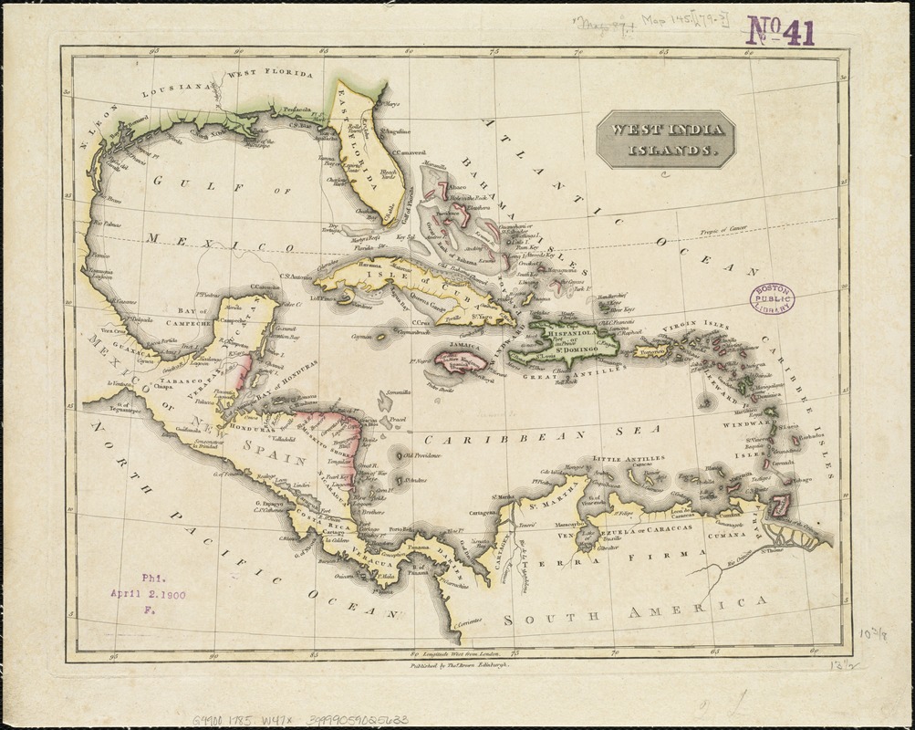
West India islands
This map is also available in American Revolutionary Geographies Online (ARGO), a collections portal especially built for material relating to the American Revolutionary War Era. Visit ARGO to learn more about this item and explore the historical geography of North America in the late eighteenth century.
Item Information
- Title:
- West India islands
- Date:
-
[1785?]
- Format:
-
Maps/Atlases
- Location:
-
Boston Public Library
Norman B. Leventhal Map Center - Collection (local):
-
Norman B. Leventhal Map Center Collection
- Subjects:
-
West Indies--Maps
- Places:
-
West Indies
- Extent:
- 1 map : col. ; 27 x 35 cm.
- Terms of Use:
-
No known copyright restrictions.
No known restrictions on use.
- Publisher:
-
Edingburgh :
Thomas Brown
- Scale:
-
Scale not given.
- Language:
-
English
- Notes:
-
Longitude west from London.
Published between 1785 and 1820.
Cataloging, conservation, and digitization made possible in part by The National Endowment for the Humanities: Exploring the human endeavor.
- Identifier:
-
06_01_006434
- Call #:
-
G4900 1785 .W47x
- Barcode:
-
39999059025633


