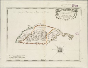
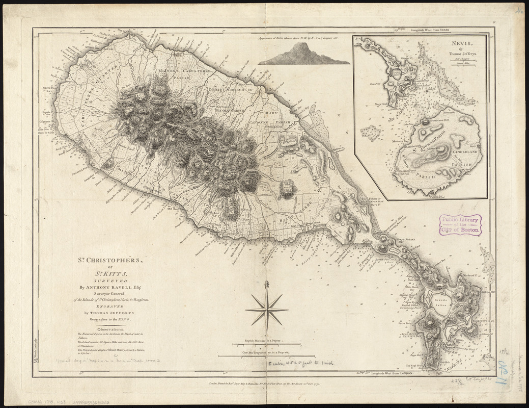
St. Christophers or St. Kitts
This map is also available in American Revolutionary Geographies Online (ARGO), a collections portal especially built for material relating to the American Revolutionary War Era. Visit ARGO to learn more about this item and explore the historical geography of North America in the late eighteenth century.
Item Information
- Title:
- St. Christophers or St. Kitts
- Creator:
- Ravell, Anthony
- Contributor:
- Jefferys, Thomas, d. 1771
- Name on Item:
-
surveyed by Anthony Ravell ; engraved by Thomas Jefferys
- Date:
-
1775
- Format:
-
Maps/Atlases
- Location:
-
Boston Public Library
Norman B. Leventhal Map Center - Collection (local):
-
Norman B. Leventhal Map Center Collection
- Subjects:
-
Saint Kitts--Maps--Early works to 1800
- Places:
-
Saint Kitts (island)
- Extent:
- 1 map ; 46 x 61 cm.
- Terms of Use:
-
No known copyright restrictions.
No known restrictions on use.
- Publisher:
-
London :
Printed for Robt. Sayer
- Scale:
-
Scale ca. 1:53,000
- Language:
-
English
- Notes:
-
Relief shown by hachures. Depths shown by soundings.
Cadastral map.
Prime meridian: London and Ferro.
Includes statistical information, profile of Nevis, and inset "Nevis, by Thomas Jefferys."
Cataloging, conservation, and digitization made possible in part by The National Endowment for the Humanities: Exploring the human endeavor.
Cataloging, conservation, and digitization made possible in part by The National Endowment for the Humanities: Exploring the human endeavor.
- Identifier:
-
06_01_010506
- Call #:
-
G5040 1775 .R38
- Barcode:
-
39999059025203