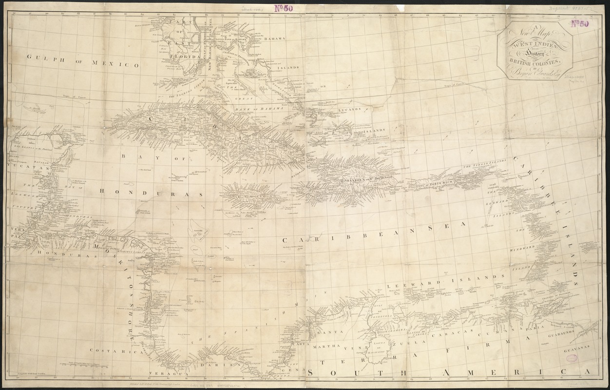
A new map of the West Indies, for the history of the British Colonies
Item Information
- Title:
- A new map of the West Indies, for the history of the British Colonies
- Creator:
- Edwards, Bryan, 1743-1800
- Name on Item:
-
by Bryan Edwards.
- Date:
-
[1818]
- Format:
-
Maps/Atlases
- Location:
-
Boston Public Library
Norman B. Leventhal Map Center - Collection (local):
-
Norman B. Leventhal Map Center Collection
- Subjects:
-
West Indies--Maps
- Places:
-
West Indies
- Extent:
- 1 map ; 69 x 113 cm.
- Terms of Use:
-
No known copyright restrictions.
No known restrictions on use.
- Publisher:
-
London :
W.H. Reid
- Scale:
-
Scale 1:3,168,000.
- Language:
-
English
- Notes:
-
Relief shown pictorially.
Appears in: Maps & Plates [to accompany] History of the British West Indies. By Bryan Edwards.
Cataloging, conservation, and digitization made possible in part by The National Endowment for the Humanities: Exploring the human endeavor.
- Notes (date):
-
This date is inferred.
- Identifier:
-
06_01_006368
- Call #:
-
G4900 1818 .E39
- Barcode:
-
39999059025161


