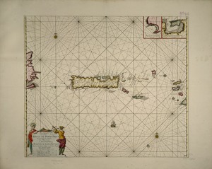
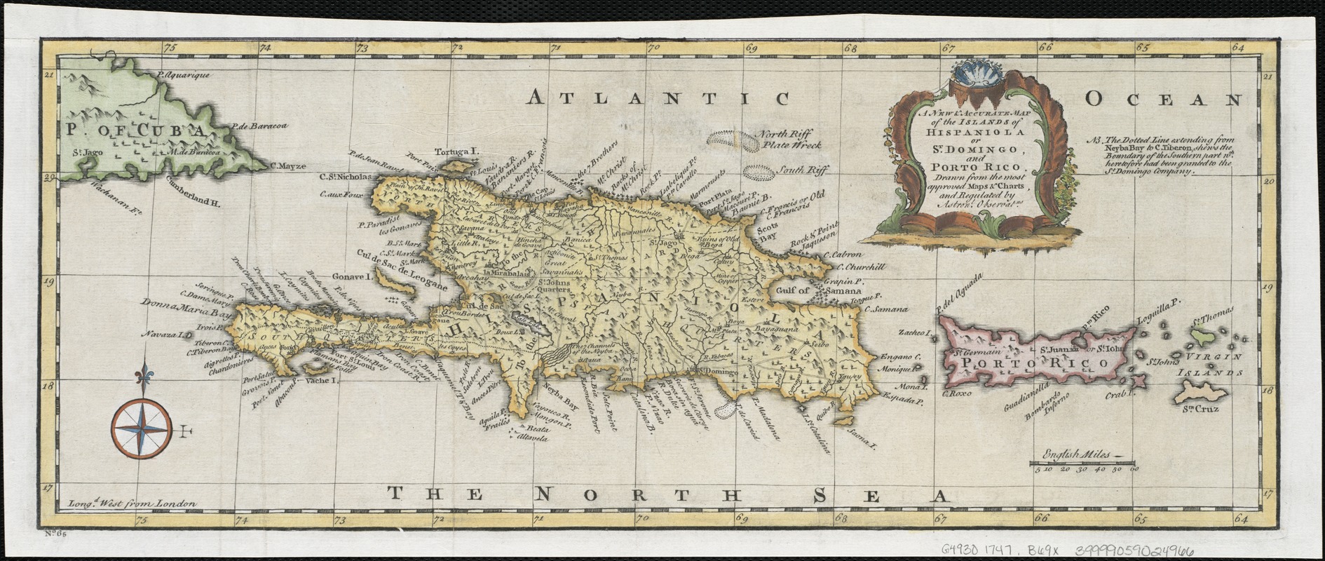
A new & accurate map of the islands of Hispaniola or St. Domingo, and Porto Rico
This map is also available in American Revolutionary Geographies Online (ARGO), a collections portal especially built for material relating to the American Revolutionary War Era. Visit ARGO to learn more about this item and explore the historical geography of North America in the late eighteenth century.
Item Information
- Title:
- A new & accurate map of the islands of Hispaniola or St. Domingo, and Porto Rico
- Title (alt.):
-
New and accurate map of the islands of Hispaniola or St. Domingo, and Porto Rico
- Creator:
- Bowen, Emanuel, d. 1767
- Name on Item:
-
drawn from the most approved maps & charts, and regulated by astronl. observatns.
- Date:
-
[1747]
- Format:
-
Maps/Atlases
- Location:
-
Boston Public Library
Norman B. Leventhal Map Center - Collection (local):
-
Norman B. Leventhal Map Center Collection
- Subjects:
-
Hispaniola--Maps--Early works to 1800
Puerto Rico--Maps--Early works to 1800
- Places:
-
Puerto Rico (territory)
Hispaniola (island)
- Extent:
- 1 map : col. ; 16 x 41 cm.
- Terms of Use:
-
No known copyright restrictions.
No known restrictions on use.
- Publisher:
-
London :
Printed for William Innys, Richard Ware, Aaron Ward ...
- Scale:
-
Scale [ca. 1:2,750,000].
- Language:
-
English
- Notes:
-
Relief shown pictorially.
In lower left margin: "No. 65."
- Notes (date):
-
This date is inferred.
- Identifier:
-
06_01_006356
- Call #:
-
G4930 1747 .B69x
- Barcode:
-
39999059024966