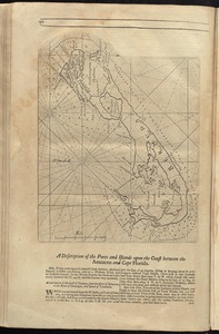
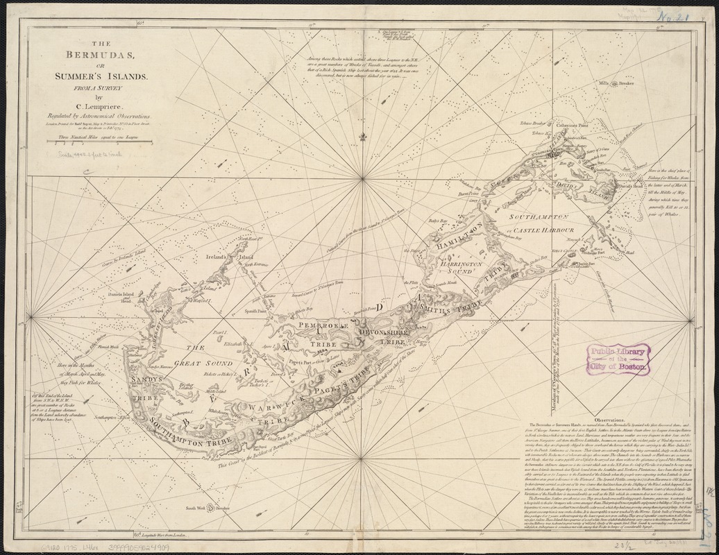
The Bermudas, or Summer's Islands
Item Information
- Title:
- The Bermudas, or Summer's Islands
- Creator:
- Lemprière, C. (Clement), 1716?-1746
- Name on Item:
-
from a survey by C. Lempriere, regulated by astronomical observations.
- Date:
-
1775
- Format:
-
Maps/Atlases
- Location:
-
Boston Public Library
Norman B. Leventhal Map Center - Collection (local):
-
Norman B. Leventhal Map Center Collection
- Subjects:
-
Shipwrecks--Bermuda Islands--Maps--Early works to 1800
Nautical charts--Bermuda Islands--Early works to 1800
Bermuda Islands--Maps--Early works to 1800
- Places:
-
Bermuda (territory)
- Extent:
- 1 map ; 45 x 60 cm.
- Terms of Use:
-
No known copyright restrictions.
No known restrictions on use.
- Publisher:
-
London :
Printed for Robt. Sayer
- Scale:
-
Scale [ca. 1:60,000]
- Language:
-
English
- Notes:
-
Relief shown by hachures. Depths shown by soundings.
Engraved nautical chart showing anchorages, rhumb lines, shipwrecks, currents, shoals, forested areas, etc. Includes text.
"Printed by Robt. Sayer, Map & Printseller, no. 53 in Fleet Street, as the Act directs 20 Feby. 1775."
In upper right corner: "F."
Cataloging, conservation, and digitization made possible in part by The National Endowment for the Humanities: Exploring the human endeavor.
- Identifier:
-
06_01_006348
- Call #:
-
G9120 1775 .L46x
- Barcode:
-
39999059024909