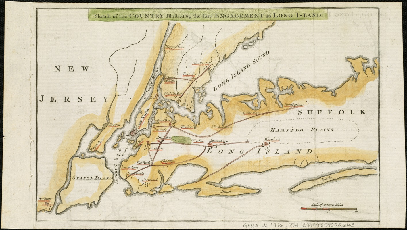
Sketch of the country illustrating the late engagement in Long Island
This map is also available in American Revolutionary Geographies Online (ARGO), a collections portal especially built for material relating to the American Revolutionary War Era. Visit ARGO to learn more about this item and explore the historical geography of North America in the late eighteenth century.
Item Information
- Title:
- Sketch of the country illustrating the late engagement in Long Island
- Date:
-
[1776]
- Format:
-
Maps/Atlases
- Location:
-
Boston Public Library
Norman B. Leventhal Map Center - Collection (local):
-
Norman B. Leventhal Map Center Collection
- Subjects:
-
Long Island, Battle of, New York, N.Y., 1776--Maps--Early works to 1800
Long Island (N.Y.)--History--Revolution, 1775-1783--Maps--Early works to 1800
Long Island (N.Y.)--Maps--Early works to 1800
New York Region--Maps--Early works to 1800
- Places:
-
Long Island (island)
- Extent:
- 1 map ; 20 x 32 cm.
- Terms of Use:
-
No known copyright restrictions.
No known restrictions on use.
- Publisher:
-
London :
s.n.
- Scale:
-
Scale [ca. 1:316,800]
- Language:
-
English
- Notes:
-
Covers New York region from Amboy, N.J., on the west and south to western Suffolk County, N.Y., on the east, and Westchester County, N.Y., on the north.
Depths shown by soundings.
From: The gentleman's magazine, v. 46, Oct. 1776.
- Notes (date):
-
This date is inferred.
- Identifier:
-
06_01_006314
- Call #:
-
G3802.L6 1776 .S54
- Barcode:
-
39999059022663
- LCCN:
-
gm 71002206


