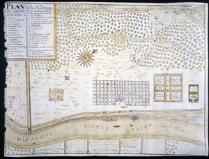
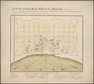
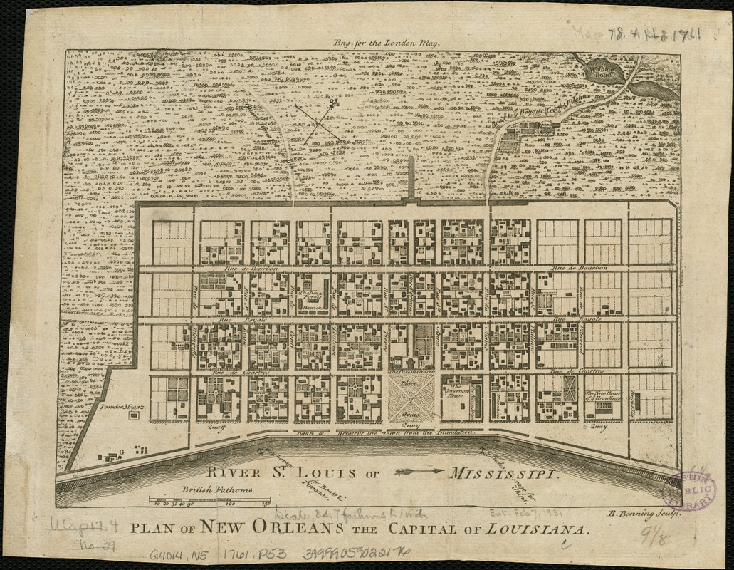
Plan of New Orleans the capital of Louisiana
This map is also available in American Revolutionary Geographies Online (ARGO), a collections portal especially built for material relating to the American Revolutionary War Era. Visit ARGO to learn more about this item and explore the historical geography of North America in the late eighteenth century.
Item Information
- Title:
- Plan of New Orleans the capital of Louisiana
- Name on Item:
-
R. Benning sculp.
- Date:
-
[1761]
- Format:
-
Maps/Atlases
- Location:
-
Boston Public Library
Norman B. Leventhal Map Center - Collection (local):
-
Norman B. Leventhal Map Center Collection
- Subjects:
-
New Orleans (La.)--Maps--Early works to 1800
- Places:
-
Orleans (county)New Orleans
- Extent:
- 1 map ; 17 x 23 cm.
- Terms of Use:
-
No known copyright restrictions.
No known restrictions on use.
- Publisher:
-
London :
s.n.
- Scale:
-
Scale ca. 1:540.
- Language:
-
English
- Notes:
-
Oriented with north toward the upper right.
Above neat line at center: Eng. for the London Mag.
From: London magazine, April 1761.
- Notes (date):
-
This date is inferred.
- Identifier:
-
06_01_006290
- Call #:
-
G4014.N5 1761 .P53
- Barcode:
-
39999059022176