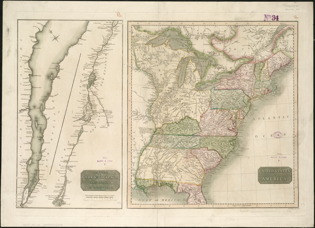
United States of America : The course of the River St. Laurence, from Lake Ontario, to Manicougan Point
Item Information
- Title:
- United States of America : The course of the River St. Laurence, from Lake Ontario, to Manicougan Point
- Date:
-
[1817]
- Format:
-
Maps/Atlases
- Location:
-
Boston Public Library
Norman B. Leventhal Map Center - Collection (local):
-
Norman B. Leventhal Map Center Collection
- Subjects:
-
Saint Lawrence River--Maps
United States--Maps
- Places:
-
United States
Saint Lawrence River
- Extent:
- 2 maps on 1 sheet ; 39 x 36 cm and 41 x 23 cm., on sheet 45 x 63 cm.
- Terms of Use:
-
No known copyright restrictions.
No known restrictions on use.
- Publisher:
-
Edinburgh :
John Thomson & Co.
- Scale:
-
Scale [ca. 1:6,200,000].
Scale [ca. 1: 860,000].
- Language:
-
English
- Notes:
-
Imprint derived from the atlas in which the map was issued.
Appears in John Thompson's New General Atlas. 1817.
"J. & G. Menzies sculp. ... "
Saint Lawrence map NE/SW orientated and shown in two sections split at Orleans Island.
Shows rivers and principal settlements.
Relief shown by hachures and shading.
Greenwich meridian.
Saint Lawrence River ; United States east of the Mississippi River.
- Notes (date):
-
This date is inferred.
- Identifier:
-
06_01_006223
- Call #:
-
G3700 1817 .U5
- Barcode:
-
39999059021533


