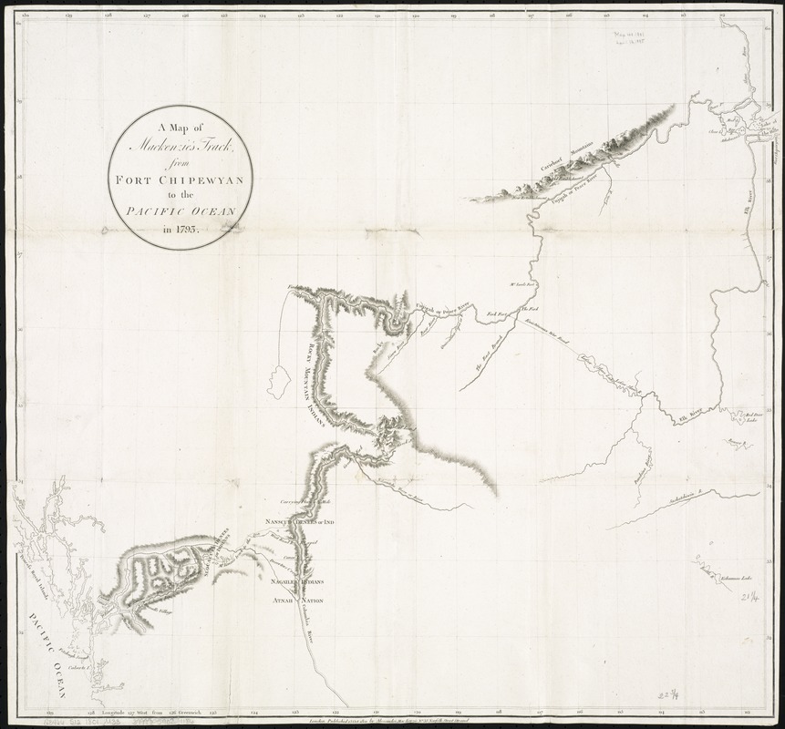
A map of Mackenzie's track from Fort Chipewyan to the Pacific Ocean in 1793
Item Information
- Title:
- A map of Mackenzie's track from Fort Chipewyan to the Pacific Ocean in 1793
- Creator:
- Mackenzie, Alexander, 1764-1820
- Date:
-
1801
- Format:
-
Maps/Atlases
- Location:
-
Boston Public Library
Norman B. Leventhal Map Center - Collection (local):
-
Norman B. Leventhal Map Center Collection
- Subjects:
-
Canada, Western--Discovery and exploration--Maps
- Places:
-
Canada
- Extent:
- 1 map ; 55 x 61 cm.
- Terms of Use:
-
No known copyright restrictions.
No known restrictions on use.
- Publisher:
-
London :
Alexander MacKenzie
- Scale:
-
Scale [ca. 1:1,850,000]
- Language:
-
English
- Notes:
-
... Published 15 Oct. 1801 ...
Relief shown by hachures.
Cataloging, conservation, and digitization made possible in part by The National Endowment for the Humanities: Exploring the human endeavor.
- Identifier:
-
06_01_006189
- Call #:
-
G3466.S12 1801 .M33
- Barcode:
-
39999059021186
- LCCN:
-
2002625188


