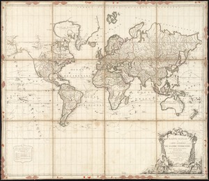
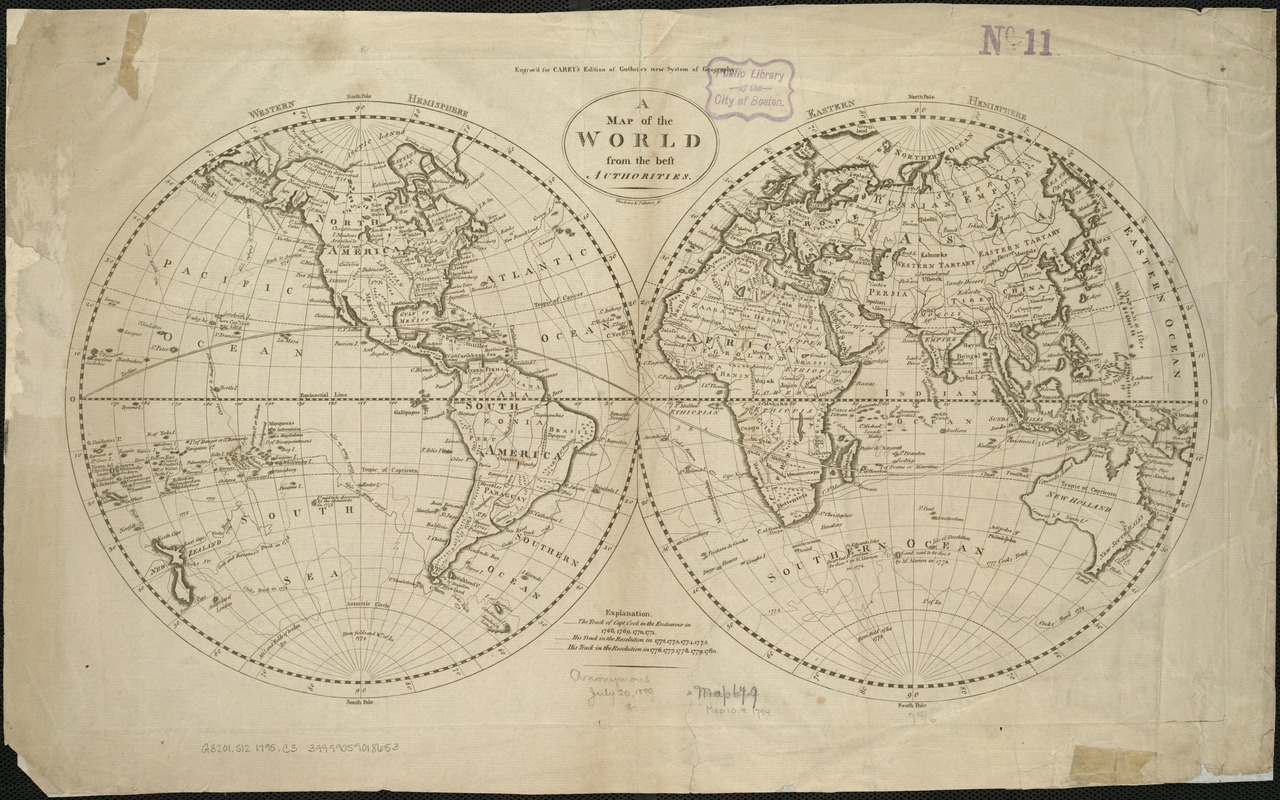
A map of the world from the best authorities
This map is also available in American Revolutionary Geographies Online (ARGO), a collections portal especially built for material relating to the American Revolutionary War Era. Visit ARGO to learn more about this item and explore the historical geography of North America in the late eighteenth century.
Item Information
- Title:
- A map of the world from the best authorities
- Creator:
- Carey, Mathew, 1760-1839
- Name on Item:
-
Thackara & Valance sc.
- Date:
-
[1795]
- Format:
-
Maps/Atlases
- Location:
-
Boston Public Library
Norman B. Leventhal Map Center - Collection (local):
-
Norman B. Leventhal Map Center Collection
- Subjects:
-
World maps--Early works to 1800
Cook, James, 1728-1779
- Places:
-
World
- Extent:
- 1 map ; 2 hemispheres each 25 cm in diam., on sheet 35 x 56 cm.
- Terms of Use:
-
No known copyright restrictions.
No known restrictions on use.
- Publisher:
-
Philadelphia :
Matthew Carey
- Scale:
-
Scale [ca. 1:80,000,000].
- Language:
-
English
- Notes:
-
Double hemisphere map. Shows drainage, routes of Capt. Cook, 1768-1780.
"Engrav'd for Carey's Edition of Guthrie's new System of Geography."
Relief shown pictorially.
- Notes (date):
-
This date is inferred.
- Identifier:
-
06_01_005932
- Call #:
-
G3201.S12 1795 .C3
- Barcode:
-
39999059018653