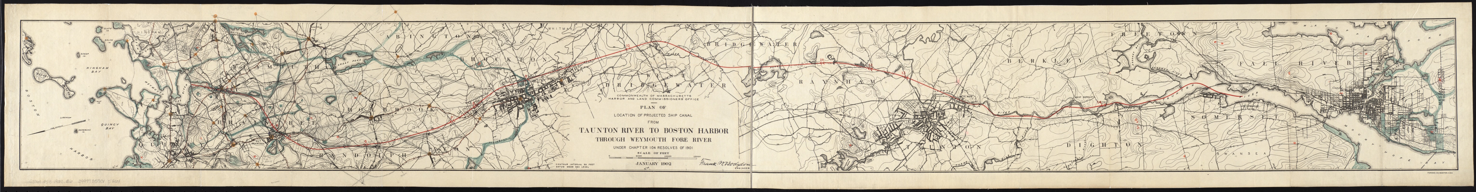
Plan of location of projected ship canal from Taunton River to Boston Harbor, through Weymouth Fore River ... Frank W. Hodgdon, engineer
Item Information
- Title:
- Plan of location of projected ship canal from Taunton River to Boston Harbor, through Weymouth Fore River ... Frank W. Hodgdon, engineer
- Creator:
- Board of Harbor and Land Commissioners of Massachusetts
- Name on Item:
-
Commonwealth of Massachusetts, Harbor and Land Commissioners' Office.
- Date:
-
1902
- Format:
-
Maps/Atlases
- Location:
-
Boston Public Library
Norman B. Leventhal Map Center - Collection (local):
-
Norman B. Leventhal Map Center Collection
- Subjects:
-
Canals--Massachusetts--Design and construction--Maps
Taunton River (Mass.)--Maps
Boston Harbor (Mass.)--Maps
Weymouth Fore River (Mass.)--Maps
Massachusetts--Maps
- Places:
-
Boston Harbor
Taunton (river)
Norfolk (county)Weymouth Fore River (bay)
- Extent:
- 1 map ; 18 x 174 cm.
- Terms of Use:
-
No known copyright restrictions.
No known restrictions on use.
- Publisher:
-
Boston :
[The Commissioners]
- Scale:
-
Scale [ca. 1:36,000].
- Language:
-
English
- Notes:
-
Relief shown by contours.
Oriented with north toward the lower left.
"January 1902."
From the Board's Annual report for 1901.
"Under Chapter 104, Resolves of 1901."
- Identifier:
-
06_01_005581
- Call #:
-
G3761.P53 1902 .B6
- Barcode:
-
39999059015261


