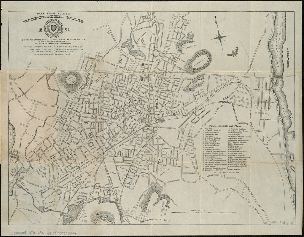
Pocket map of the city of Worcester, Mass : showing all streets, parks, distances, street car routes, location of public buildings, churches &c
Item Information
- Title:
- Pocket map of the city of Worcester, Mass : showing all streets, parks, distances, street car routes, location of public buildings, churches &c
- Cover title :
- New pocket map of Worcester, Mass
- Creator:
- Van Valkenburg, J. J.
- Name on Item:
-
compiled expressly for the publisher from the latest surveys by J.J. Van Valkenburg, C.E.
- Date:
-
1891
- Format:
-
Maps/Atlases
- Location:
-
Boston Public Library
Norman B. Leventhal Map Center - Collection (local):
-
Norman B. Leventhal Map Center Collection
- Subjects:
-
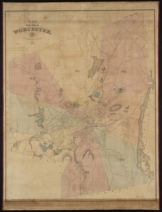
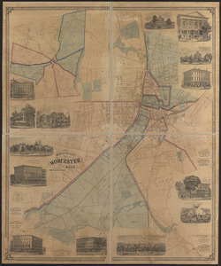
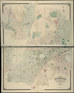
Worcester (Mass.)--Maps
- Places:
-
Worcester (county)Worcester
- Extent:
- 1 map ; 33 x 44 cm.
- Terms of Use:
-
No known copyright restrictions.
No known restrictions on use.
- Publisher:
-
Boston :
George W. Armstrong
- Scale:
-
Scale [ca. 1:16,000].
- Language:
-
English
- Notes:
-
Oriented with north toward the upper left.
Relief shown by hachures.
Shows horse car lines, places of interest, and radial distances from City Hall at half mile intervals.
"Electro plate made by the Photo Electro-type Engraving Co., Boston, Mass."
- Identifier:
-
06_01_005557
- Call #:
-
G3764.W9 1891 .V3x
- Barcode:
-
39999059015022