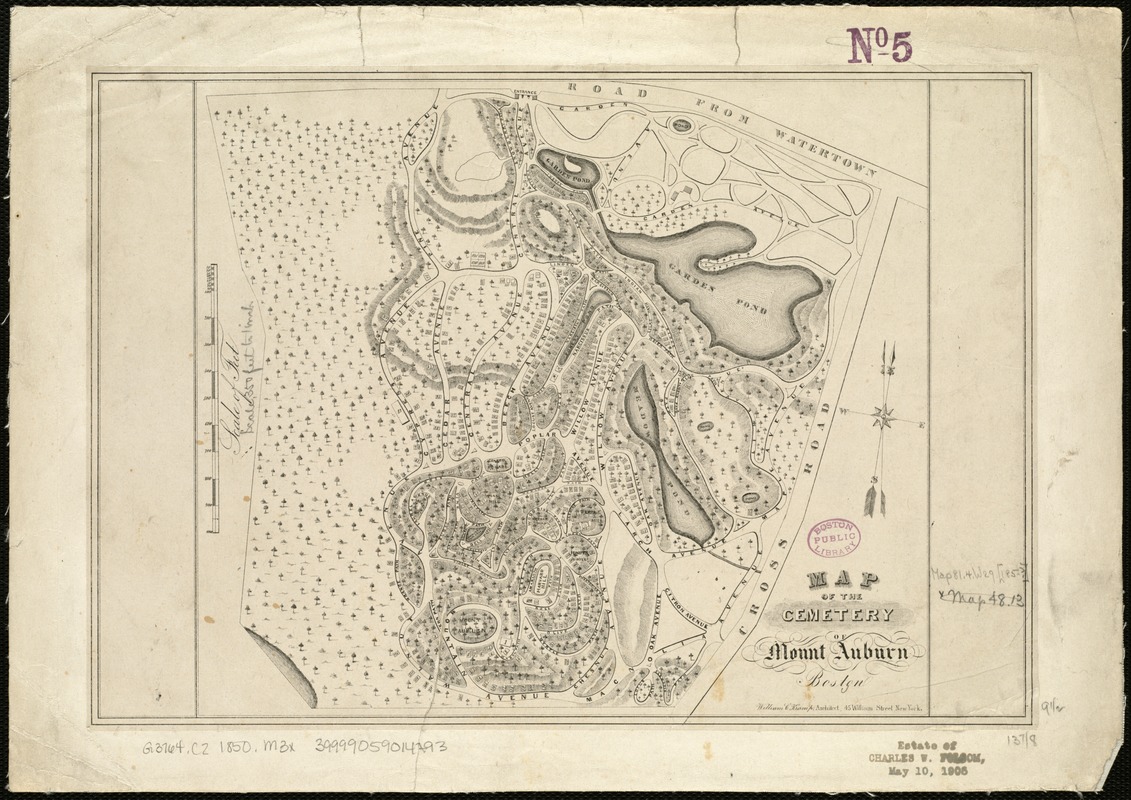
Map of the cemetery of Mount Auburn, Boston
Item Information
- Title:
- Map of the cemetery of Mount Auburn, Boston
- Date:
-
[1850?–1859?]
- Format:
-
Maps/Atlases
- Location:
-
Boston Public Library
Norman B. Leventhal Map Center - Collection (local):
-
Norman B. Leventhal Map Center Collection
- Subjects:
-
Cemeteries--Massachusetts--Cambridge--Maps
Cemeteries--Massachusetts--Watertown--Maps
Cambridge (Mass.)--Maps
Watertown (Mass.)--Maps
- Places:
-
Middlesex (county)Cambridge
Middlesex (county)Watertown
- Extent:
- 1 map ; 24 x 28 cm.
- Terms of Use:
-
No known copyright restrictions.
No known restrictions on use.
- Publisher:
-
S.l :
s.n.
- Scale:
-
Scale 1:4,200.
- Language:
-
English
- Notes:
-
Oriented with north toward the upper right.
Relief shown by hachures.
"William C. Kramp, Architect, 45 William Street New York."
- Identifier:
-
06_01_005497
- Call #:
-
G3764.C2 1850 .M3x
- Barcode:
-
39999059014793


