Map of the town of Newton, Mass
Item Information
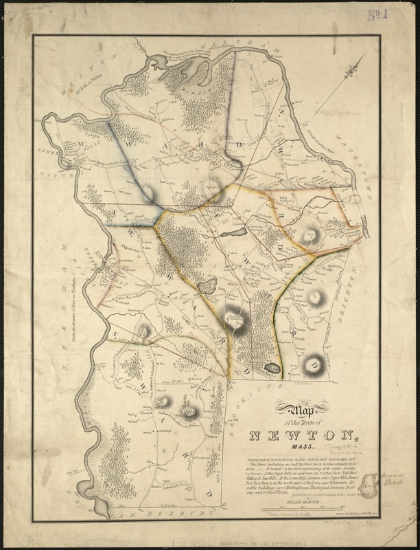
- Title:
- Map of the town of Newton, Mass
- Creator:
- Woodward, E. F.
- Name on Item:
-
surveyed by E.F. Woodward & W.F. Ward.
- Date:
-
1831
- Format:
-
Maps/Atlases
- Location:
-
Boston Public Library
Norman B. Leventhal Map Center - Collection (local):
-
Norman B. Leventhal Map Center Collection
- Subjects:
-
Real property--Massachusetts--Newton--Maps
Landowners--Massachusetts--Newton--Maps
Newton (Mass.)--Maps
- Places:
-
Middlesex (county)Newton
- Extent:
- 1 map : col. ; 60 x 43 cm.
- Terms of Use:
-
No known copyright restrictions.
No known restrictions on use.
- Publisher:
-
Boston :
Annin, Smith, & Co.'s Lithogy
- Scale:
-
Scale [ca. 1:20,660].
- Language:
-
English
- Notes:
-
Relief shown by hachures.
Shows buildings with names of property owners.
"Nov. 1831."
Includes note.
- Identifier:
-
06_01_005400
- Call #:
-
G3764.N5G46 1831 .W6x
- Barcode:
-
39999059013852


