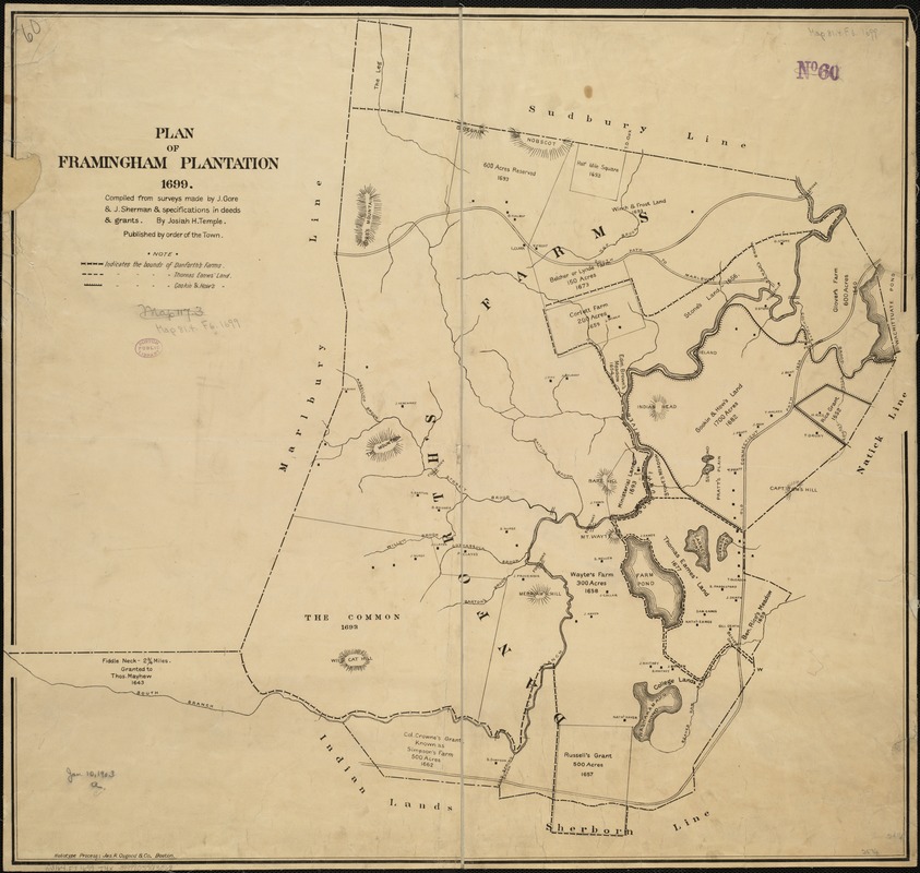
Plan of Framingham Plantation 1699
Item Information
- Title:
- Plan of Framingham Plantation 1699
- Creator:
- Temple, J. H. (Josiah Howard), 1815-1893
- Name on Item:
-
compiled from surveys made by J. Gore & J. Sherman & specifications in deeds & grants by Josiah H. Temple ; published by order of the town.
- Date:
-
[1900–1903]
- Format:
-
Maps/Atlases
- Location:
-
Boston Public Library
Norman B. Leventhal Map Center - Collection (local):
-
Norman B. Leventhal Map Center Collection
- Subjects:
-
Real property--Massachusetts--Framingham--Maps
Landowners--Massachusetts--Framingham--Maps
Framingham (Mass.)--Maps
- Places:
-
Middlesex (county)Framingham
- Extent:
- 1 map ; 62 x 65 cm.
- Terms of Use:
-
No known copyright restrictions.
No known restrictions on use.
- Publisher:
-
Framingham :
The Town
- Scale:
-
Scale not given.
- Language:
-
English
- Notes:
-
Relief shown by hachures.
- Notes (date):
-
This date is inferred.
- Identifier:
-
06_01_005329
- Call #:
-
G3764.F7 1699 .T4x
- Barcode:
-
39999059013068