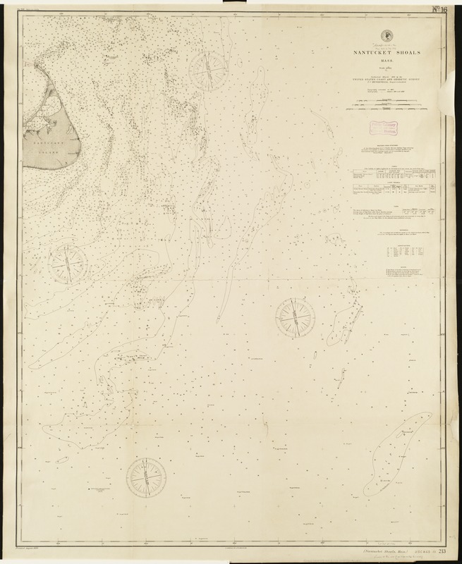
Nantucket Shoals, Mass
Item Information
- Title:
- Nantucket Shoals, Mass
- Creator:
- U.S. Coast and Geodetic Survey
- Date:
-
1893
- Format:
-
Maps/Atlases
- Location:
-
Boston Public Library
Norman B. Leventhal Map Center - Collection (local):
-
Norman B. Leventhal Map Center Collection
- Subjects:
-
Nautical charts--Massachusetts--Nantucket Shoals
Nantucket Shoals (Mass.)--Maps
- Places:
-
Nantucket (county)Nantucket Shoals (area)
- Extent:
- 1 map ; 106 x 84 cm.
- Terms of Use:
-
No known copyright restrictions.
No known restrictions on use.
- Publisher:
-
[Washington, D.C.] :
United States Coast and Geodetic Survey
- Scale:
-
Scale 1:80,000.
- Language:
-
English
- Notes:
-
Depths shown by soundings.
"No. 213" in margins.
"Topography executed in 1887. Hydrography [executed] between 1890 and 1892."
Includes information on weather signal stations, lights, light vessels, tides, soundings and buoys.
- Identifier:
-
06_01_005168
- Call #:
-
G3762.N325P5 1893 .U8
- Barcode:
-
39999059010072


