Plan of Chestnut Hill, in Brookline & Newton : August 1856
Item Information
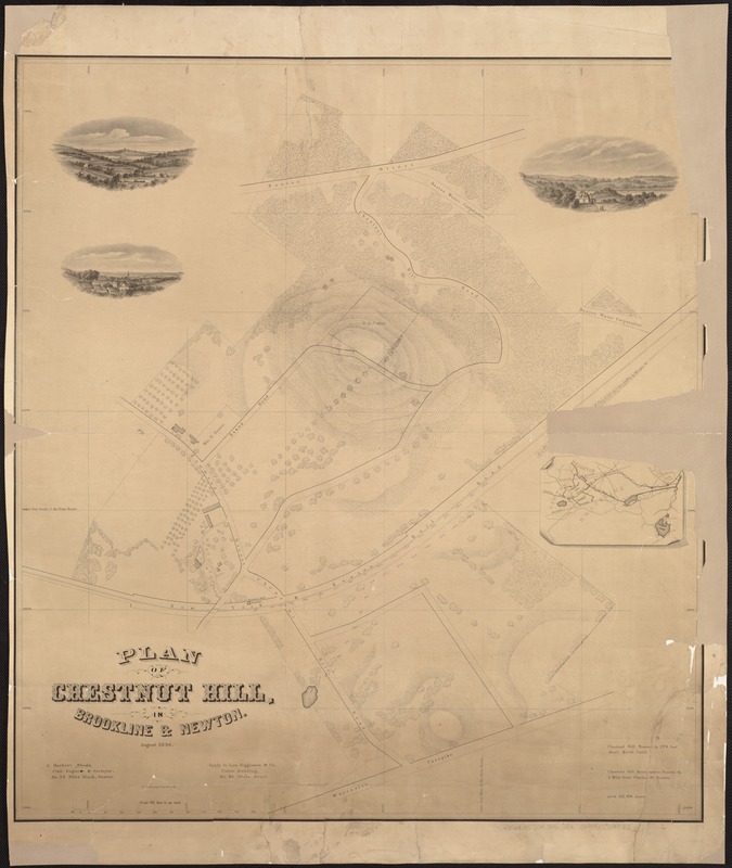
- Title:
- Plan of Chestnut Hill, in Brookline & Newton : August 1856
- Creator:
- Shedd, J. Herbert.
- Name on Item:
-
J. Herbert Shedd, civil engineer & surveyor.
- Date:
-
[1856]
- Format:
-
Maps/Atlases
- Location:
-
Boston Public Library
Norman B. Leventhal Map Center - Collection (local):
-
Norman B. Leventhal Map Center Collection
- Subjects:
-
Newton (Mass.)--Maps
- Places:
-
Middlesex (county)Newton
- Extent:
- 1 map ; 77 x 69 cm.
- Terms of Use:
-
No known copyright restrictions.
No known restrictions on use.
- Publisher:
-
Boston :
L.H. Bradford & Co.'s
- Scale:
-
Scale 1:1,800.
- Language:
-
English
- Notes:
-
Relief shown by hachures.
Includes inset map and three vignettes.
"Apply to Lee, Higginson & Co., Union Building, No. 40, State Street."
- Notes (date):
-
This date is inferred.
- Identifier:
-
06_01_005108
- Call #:
-
G3764.N5:2C4 1856 .S5x
- Barcode:
-
39999059009751


