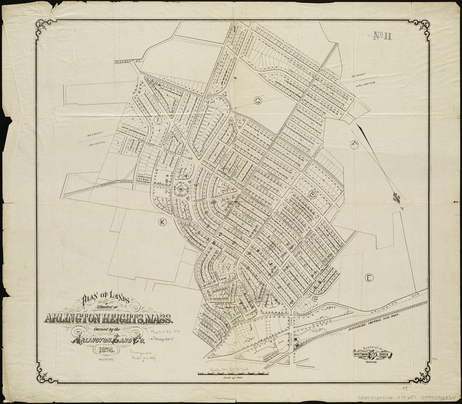
Plan of lands situated at Arlington Heights, Mass : owned by the Arlington Land Co
Item Information
- Title:
- Plan of lands situated at Arlington Heights, Mass : owned by the Arlington Land Co
- Creator:
- Whitman & Breck
- Name on Item:
-
surveyed by Whitman & Breck.
- Date:
-
[1874]
- Format:
-
Maps/Atlases
- Location:
-
Boston Public Library
Norman B. Leventhal Map Center - Collection (local):
-
Norman B. Leventhal Map Center Collection
- Subjects:
-
Real property--Massachusetts--Arlington--Maps
Arlington Heights (Mass.)--Maps
- Places:
-
Middlesex (county)Arlington
- Extent:
- 1 plan ; 56 x 61 cm.
- Terms of Use:
-
No known copyright restrictions.
No known restrictions on use.
- Publisher:
-
Boston :
Heliotype
- Scale:
-
Scale 1:3,840.
- Language:
-
English
- Notes:
-
Oriented with north toward the lower right.
- Notes (date):
-
This date is inferred.
- Identifier:
-
06_01_005107
- Call #:
-
G3764.A7:2A7G46 1874 .W5x
- Barcode:
-
39999059009744


