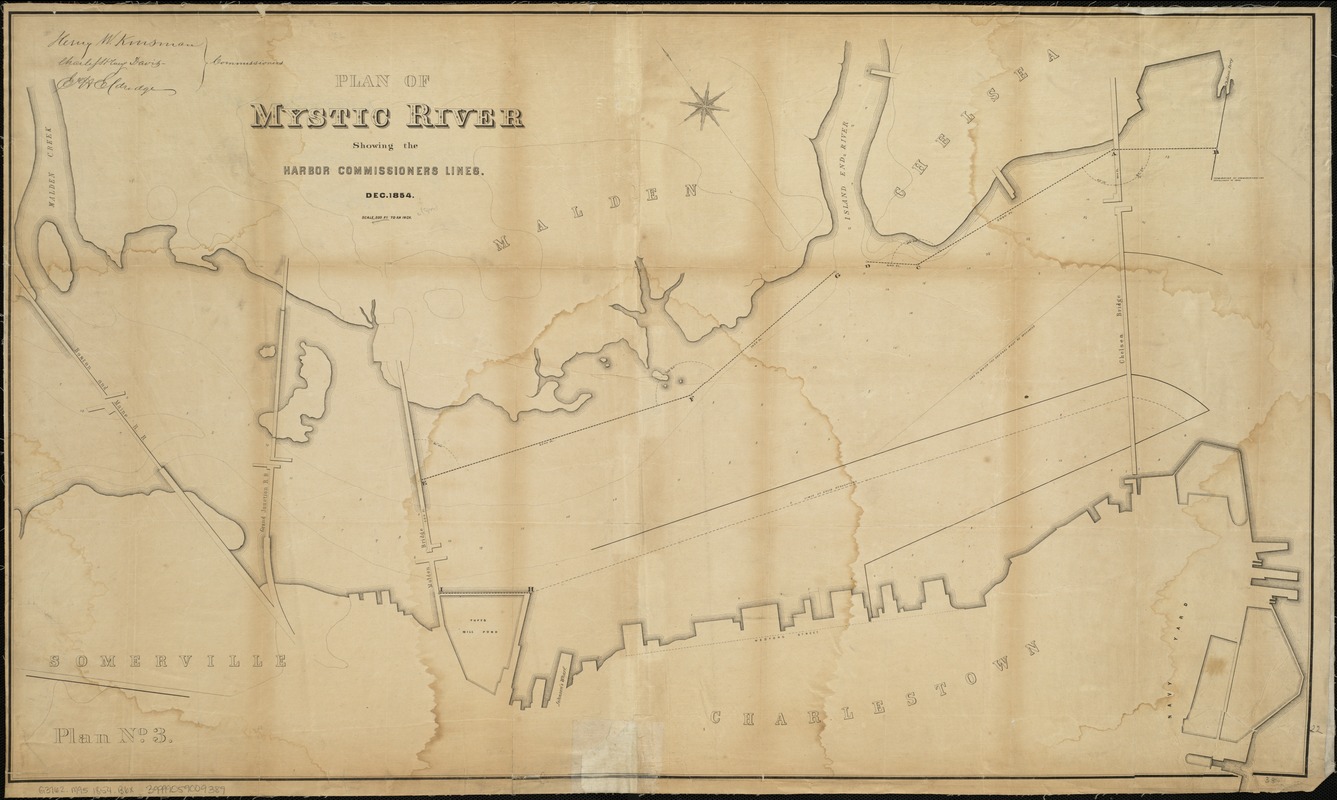
Plan of Mystic River showing the Harbor Commissioners lines : Dec. 1854
Item Information
- Title:
- Plan of Mystic River showing the Harbor Commissioners lines : Dec. 1854
- Creator:
- Massachusetts. Board of Harbor Commissioners
- Date:
-
[1854]
- Format:
-
Maps/Atlases
- Location:
-
Boston Public Library
Norman B. Leventhal Map Center - Collection (local):
-
Norman B. Leventhal Map Center Collection
- Subjects:
-
Harbors--Massachusetts--Boston--Maps
Mystic River (Mass.)--Maps
- Places:
-
Mystic (river)
- Extent:
- 1 map ; 57 x 96 cm.
- Terms of Use:
-
No known copyright restrictions.
No known restrictions on use.
- Publisher:
-
Boston :
s.n.
- Scale:
-
Scale 1:3,600.
- Language:
-
English
- Notes:
-
Oriented with north toward the upper left.
Depths shown by soundings.
"Plan No. 3."
- Notes (date):
-
This date is inferred.
- Identifier:
-
06_01_005013
- Call #:
-
G3762.M95 1854 .B6x
- Barcode:
-
39999059009389


