Map of Massachusetts
Item Information
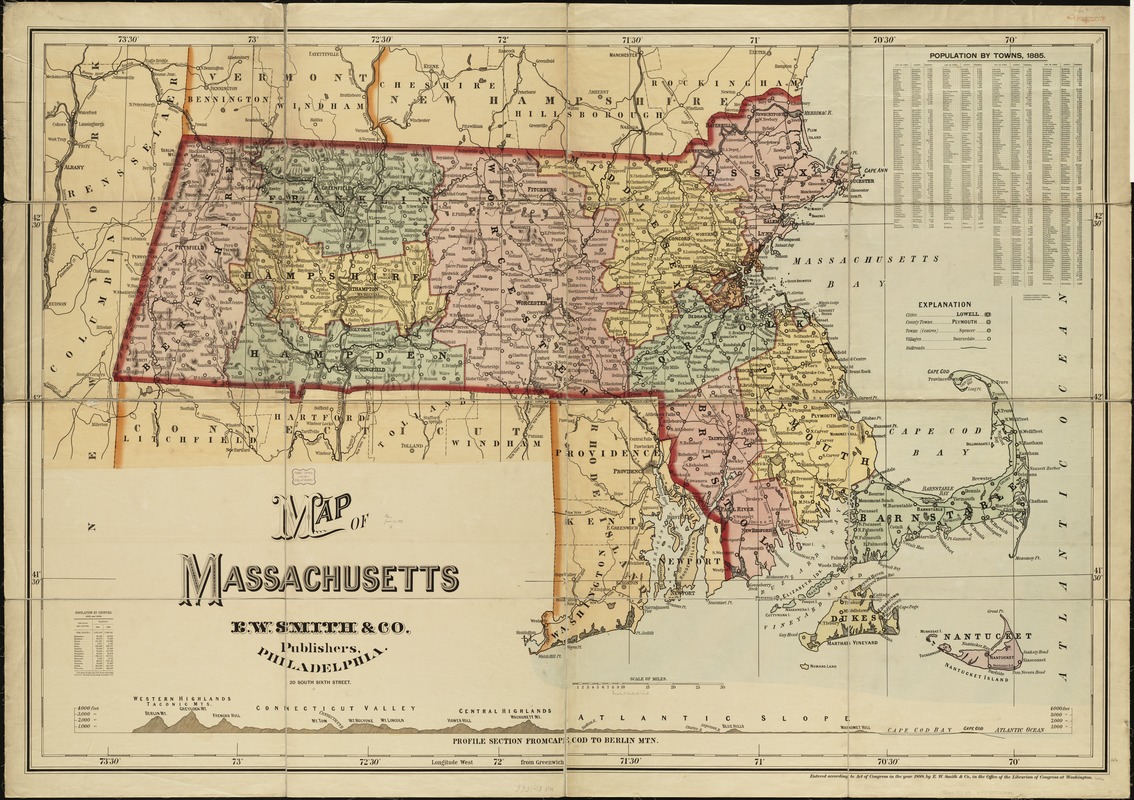
- Title:
- Map of Massachusetts
- Creator:
- E.W. Smith & Co
- Date:
-
1888
- Format:
-
Maps/Atlases
- Location:
-
Boston Public Library
Norman B. Leventhal Map Center - Collection (local):
-
Norman B. Leventhal Map Center Collection
- Subjects:
-
Massachusetts--Maps
- Places:
-
Massachusetts
- Extent:
- 1 map : col. ; 119 x 176 cm.
- Terms of Use:
-
No known copyright restrictions.
No known restrictions on use.
- Publisher:
-
Philadelphia :
E.W. Smith & Co.
- Scale:
-
Scale [ca. 1:190,080].
- Language:
-
English
- Notes:
-
Includes: Population by towns, 1885; population by counties, 1875 and 1885; and Profile section from Cape Cod to Berlin Mtn., showing elevations.
Includes also the state of Rhode Island.
- Identifier:
-
06_01_004876
- Call #:
-
G3760 1888 .E9
- Barcode:
-
39999059008381


