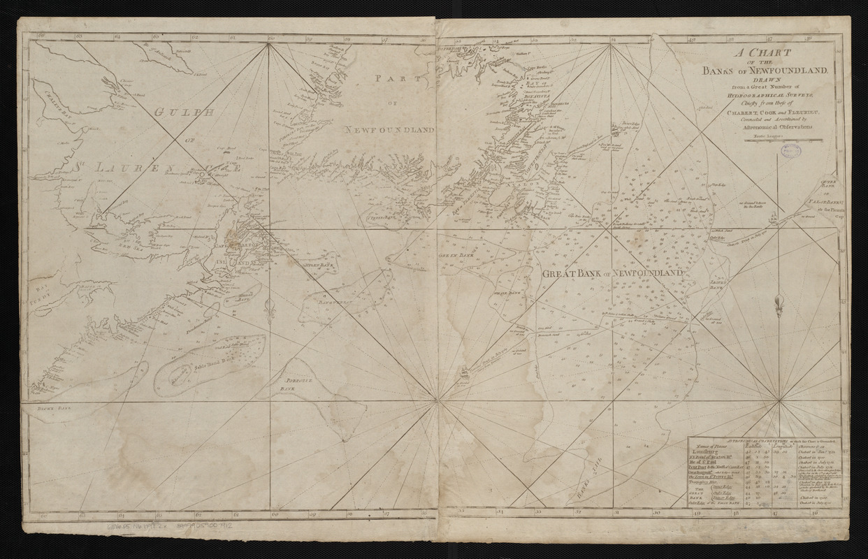
A chart of the Banks of Newfoundland, drawn from a great number of hydrographical surveys, chiefly from those of Chabert, Cook and Fleurieu, connected and ascertained by astronomical observations
Item Information
- Title:
- A chart of the Banks of Newfoundland, drawn from a great number of hydrographical surveys, chiefly from those of Chabert, Cook and Fleurieu, connected and ascertained by astronomical observations
- Creator:
- Norman, John, 1748?-1817
- Cartographer:
- Norman, John, 1748?-1817
- Publisher:
- Norman, William, -1807
- Date:
-
[ca. 1798]
- Format:
-
Maps/Atlases
- Location:
-
Boston Public Library
Norman B. Leventhal Map Center - Collection (local):
-
Norman B. Leventhal Map Center Collection
- Subjects:
-
Coasts--Newfoundland and Labrador--Maps--Early works to 1800
Nautical charts--Grand Banks of Newfoundland--Maps--Early works to 1800
Grand Banks of Newfoundland--Maps--Early works to 1800
- Places:
-
Grand Banks of Newfoundland
- Extent:
- 1 map ; 47 x 84 cm
- Terms of Use:
-
No known copyright restrictions.
No known restrictions on use.
- Publisher:
-
[Boston] :
[William Norman]
- Scale:
-
Scale approximately 1:1,850,000
- Language:
-
English
- Notes:
-
Depths shown by soundings.
Includes table of astronomical observations.
In Norman's The American pilot. Boston : William Norman, [approximately 1798].
- Identifier:
-
06_01_004825
- Call #:
-
G1106.P5 N6 1798.2x
- Barcode:
-
30000005069334


