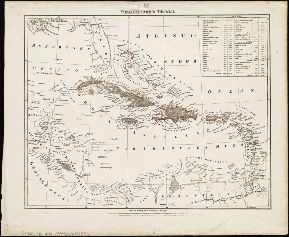
Westindische Inseln
Item Information
- Title:
- Westindische Inseln
- Date:
-
[1848]
- Format:
-
Maps/Atlases
- Location:
-
Boston Public Library
Norman B. Leventhal Map Center - Collection (local):
-
Norman B. Leventhal Map Center Collection
- Subjects:
-
West Indies--Maps
- Places:
-
West Indies
- Extent:
- 1 map : col ; 30 x 38 cm.
- Terms of Use:
-
No known copyright restrictions.
No known restrictions on use.
- Publisher:
-
Glogau :
C. Flemming
- Scale:
-
Scale [ca. 1:9,000,000]
- Language:
-
German
- Notes:
-
Relief shown by hachures.
From: Karl Sohr's Vollständiger Hand-Atlas der neueren Erdbeschreibung über alle Theile der Erde ..., map no. 79.
- Notes (date):
-
This date is inferred.
- Identifier:
-
06_01_004748
- Call #:
-
G4900 1848 .W4x
- Barcode:
-
39999059007334


