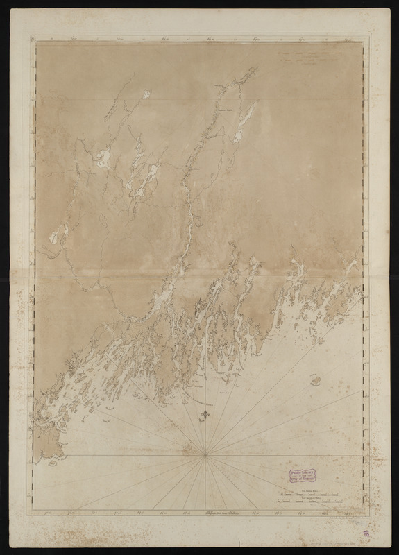
Coast of Maine from Mosquito Head to Spurwink River
This map is also available in American Revolutionary Geographies Online (ARGO), a collections portal especially built for material relating to the American Revolutionary War Era. Visit ARGO to learn more about this item and explore the historical geography of North America in the late eighteenth century.
Item Information
- Title:
- Coast of Maine from Mosquito Head to Spurwink River
- Creator:
- Des Barres, Joseph F. W. (Joseph Frederick Wallet), 1722-1824
- Date:
-
1776
- Format:
-
Maps/Atlases
- Location:
-
Boston Public Library
Norman B. Leventhal Map Center - Collection (local):
-
Norman B. Leventhal Map Center Collection
- Subjects:
-
Coasts--Maine--Maps--Early works to 1800
Nautical charts--Maine--Early works to 1800
Atlantic Coast (Me.)--Maps--Early works to 1800
- Places:
-
Maine
- Extent:
- 1 chart ; 105 x 74 cm.
- Terms of Use:
-
No known copyright restrictions.
No known restrictions on use.
- Publisher:
-
[London] :
I.F.W. Des Barres
- Edition:
- 2nd state.
- Scale:
-
Scale [ca. 1:125,000]
- Language:
-
English
- Notes:
-
Appears in the author's Atlantic Neptune. London : J.F.W. Des Barres, 1777-[1781].
Plate number "***6" engraved in upper left border.
- Identifier:
-
06_01_004486
- Call #:
-
G1106.P5 D47 1781
- Barcode:
-
30000003815430

![[Coast of Maine from Frenchman Bay to Mosquito Harbor]](https://bpldcassets.blob.core.windows.net/derivatives/images/commonwealth:cj82m295n/image_thumbnail_300.jpg)


