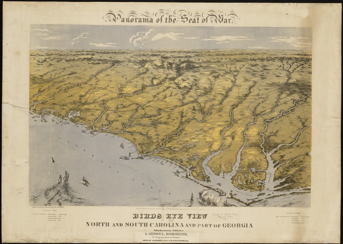
Birds eye view of North and South Carolina and part of Georgia
Item Information
- Title:
- Birds eye view of North and South Carolina and part of Georgia
- Title (alt.):
-
Panorama of the seat of war, Birds eye view of North and South Carolina and part of Georgia
- Description:
-
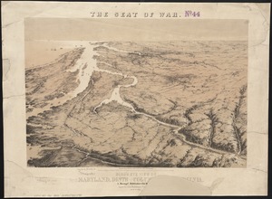
Torn in Two: Three separately published bird's-eye views provide a continuous panoramic perspective of the southeastern United States coast, extending from the Chesapeake Bay to Florida. Together they highlight the Union naval blockade of the Confederacy, showing pictorially coastal fortifications as well as ships lining the coast and entering major harbors. It is truly remarkable that these views were the work of one man, Swiss born artist John Bachmann, because he did not have the ability to observe such a large part of the country from an elevated perspective, other than in his own creative imagination. While not particularly useful for planning military maneuvers because of exaggerated topography and inconsistent scales, they were intended to assist a living room audience in visualizing the geographic areas where the battles had and would occur.
- Creator:
- Bachmann, John, fl. 1849-1885
- Name on Item:
-
drawn from nature and lith. by John Bachmann.
- Date:
-
[ca. 1861]
- Format:
-
Maps/Atlases
- Location:
-
Boston Public Library
Norman B. Leventhal Map Center - Collection (local):
-
Norman B. Leventhal Map Center Collection
- Subjects:
-
Confederate States of America--History--Aerial views
North Carolina--History--Civil War, 1861-1865--Aerial views
South Carolina--History--Civil War, 1861-1865--Aerial views
Georgia--History--Civil War, 1861-1865--Aerial views
United States--History--Civil War, 1861-1865--Aerial views
- Places:
-
Georgia
North Carolina
Confederate States of America (area)
South Carolina
- Extent:
- 1 view : col. ; 46 x 71 cm.
- Terms of Use:
-
No known copyright restrictions.
No known restrictions on use.
- Publisher:
-
New York :
John Bachmann
- Scale:
-
Not drawn to scale.
- Language:
-
English
- Notes:
-
At top of map: Panorama of the seat of war.
View of the coast from Currituck Sound, North Carolina, to Savannah, Georgia, indicating towns, roads, railroads, and rivers. The shelling of Fort Hatteras is shown.
Includes a table of distances from Cape Hatteras.
- Notes (exhibitions):
-
Exhibited: "Torn in Two: The 150th Anniversary of the Civil War" organized by the Norman B. Leventhal Map Center at the Boston Public Library, 2011.
- Identifier:
-
06_01_004403
- Call #:
-
G3871.A3 1861 .B3
- Barcode:
-
39999059006518
- LCCN:
-
99447447