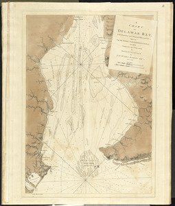
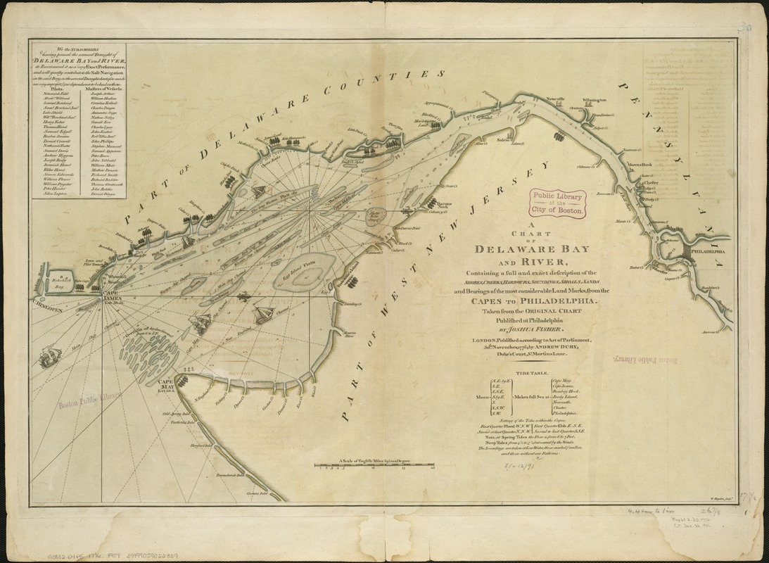
A chart of Delaware Bay and River, containing a full and exact description of the shores, creeks, harbours, soundings, shoals, sands, and bearings of the most considerable land marks, from the capes to Philadelphia
This map is also available in American Revolutionary Geographies Online (ARGO), a collections portal especially built for material relating to the American Revolutionary War Era. Visit ARGO to learn more about this item and explore the historical geography of North America in the late eighteenth century.
Item Information
- Title:
- A chart of Delaware Bay and River, containing a full and exact description of the shores, creeks, harbours, soundings, shoals, sands, and bearings of the most considerable land marks, from the capes to Philadelphia
- Creator:
- Fisher, Joshua, 1707-1783
- Name on Item:
-
taken from the original chart published at Philadelphia by Joshua Fisher ; W. Haydon, sculpt.
- Date:
-
1776
- Format:
-
Maps/Atlases
- Location:
-
Boston Public Library
Norman B. Leventhal Map Center - Collection (local):
-
Norman B. Leventhal Map Center Collection
- Subjects:
-
Nautical charts--Delaware Bay (Del. and N.J.)--Early works to 1800
Nautical charts--Delaware River (N.Y.-Del. and N.J.)--Early works to 1800
Delaware Bay (Del. and N.J.)--Maps--Early works to 1800
Delaware River (N.Y.-Del. and N.J.)--Maps--Early works to 1800
- Places:
-
Delaware River
Delaware Bay
- Extent:
- 1 map : col. ; 45 x 69 cm.
- Terms of Use:
-
No known copyright restrictions.
No known restrictions on use.
- Publisher:
-
London :
Andrew Dury
- Scale:
-
Scale ca. 1:275,000.
- Language:
-
English
- Notes:
-
Oriented with north to the right.
Depths shown by soundings.
Shows ship channels.
Includes list of subscribers and "Tide table."
- Identifier:
-
06_01_004075
- Call #:
-
G3832.D4P5 1776 .F57
- Barcode:
-
39999059022309
- LCCN:
-
74692202