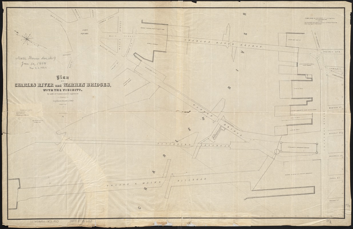
Plan of Charles River and Warren bridges, with the vicinity
Item Information
- Title:
- Plan of Charles River and Warren bridges, with the vicinity
- Name on Item:
-
by order of Commissioners appointed under Legislative resolve of 1853, Chapter 93.
- Date:
-
1853
- Format:
-
Maps/Atlases
- Location:
-
Boston Public Library
Norman B. Leventhal Map Center - Collection (local):
-
Norman B. Leventhal Map Center Collection
- Subjects:
-
Bridges--Massachusetts--Boston--Maps
Boston (Mass.)--Maps
Charles River (Mass.)--Maps
- Places:
-
Charles (river)
Suffolk (county)Boston
- Extent:
- 1 plan ; 44 x 70 cm.
- Terms of Use:
-
No known copyright restrictions.
No known restrictions on use.
- Publisher:
-
Boston, Mass :
[s.n.]
- Scale:
-
Scale 1:1,200.
- Language:
-
English
- Notes:
-
Oriented with north toward the upper left.
"Thomas Doane & John Doane Jr., Civil Engineers and lane surveyors."
- Identifier:
-
06_01_003777
- Call #:
-
G3764.B6P24 1853 .P53
- Barcode:
-
39999059002053


