Plan of Charlestown
Item Information
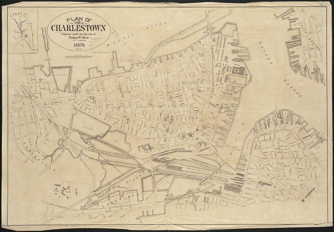
- Title:
- Plan of Charlestown
- Creator:
- Boston (Mass.). Engineering Dept
- Name on Item:
-
compiled under the direction of Thomas W. Davis, city surveyor ; G. Floring, del.
- Date:
-
[1879]
- Format:
-
Maps/Atlases
- Location:
-
Boston Public Library
Norman B. Leventhal Map Center - Collection (local):
-
Norman B. Leventhal Map Center Collection
- Subjects:
-
Charlestown (Boston, Mass.)--Maps
- Places:
-
Suffolk (county)BostonCharlestown
- Extent:
- 1 plan ; 84 x 123 cm.
- Terms of Use:
-
No known copyright restrictions.
No known restrictions on use.
- Publisher:
-
Boston, Mass :
Bufford's
- Scale:
-
Scale, 1:3,000. 1 inch to 250 feet.
- Language:
-
English
- Notes:
-
Oriented with north toward the upper left.
Includes inset of Everett, Mass.
- Notes (date):
-
This date is inferred.
- Identifier:
-
06_01_003761
- Call #:
-
G3764.B6:2C38 1879 .B67
- Barcode:
-
39999059001964


