Public reservations on the banks of the Charles River between Watertown and Cragies Bridge
Item Information
- Title:
- Public reservations on the banks of the Charles River between Watertown and Cragies Bridge
- Date:
-
[1920–1929]
- Format:
-
Maps/Atlases
- Location:
-
Boston Public Library
Norman B. Leventhal Map Center - Collection (local):
-
Norman B. Leventhal Map Center Collection
- Subjects:
-
Urban parks--Massachusetts--Boston--Maps
Boston (Mass.)--Maps
Charles River (Mass.)--Maps
- Places:
-
Suffolk (county)Boston
- Extent:
- 1 map : col. ; on sheet 36 x 43 cm.
- Terms of Use:
-
No known copyright restrictions.
No known restrictions on use.
- Publisher:
-
Boston, Mass :
s.n.
- Scale:
-
Scale not given.
- Language:
-
English
- Notes:
-
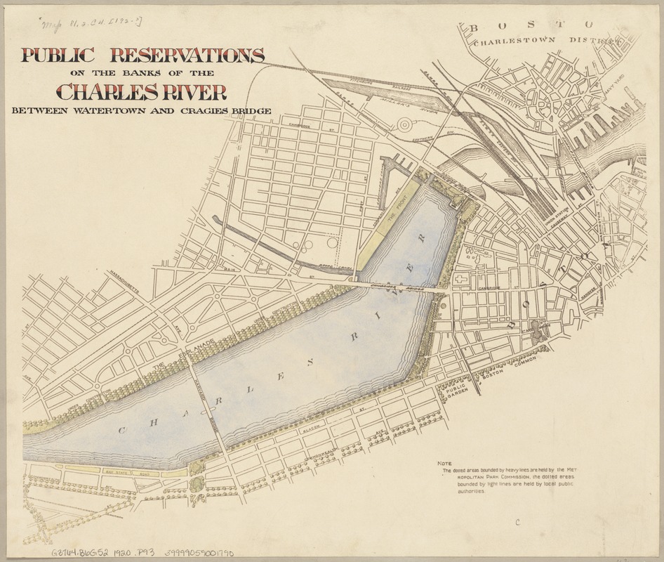
Note: the dotted areas bounded by heavy lines are held by the Metropolitan Park Commission, the dotted areas bounded by light lines are held by local public authorities.
- Notes (date):
-
This date is inferred.
- Identifier:
-
06_01_003725
- Call #:
-
G3764.B6G52 1920 .P93
- Barcode:
-
39999059001790


