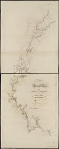
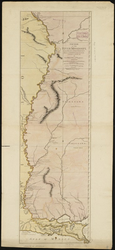
Course of the river Mississipi, from the Balise to Fort Chartres : taken on an expedition to the Illinois, in the latter end of the year 1765
This map is also available in American Revolutionary Geographies Online (ARGO), a collections portal especially built for material relating to the American Revolutionary War Era. Visit ARGO to learn more about this item and explore the historical geography of North America in the late eighteenth century.
Item Information
- Title:
- Course of the river Mississipi, from the Balise to Fort Chartres : taken on an expedition to the Illinois, in the latter end of the year 1765
- Creator:
- Ross, Lieut
- Name on Item:
-
by Lieut. Ross of the 34th Regiment, improved from the surveys of the river made by the French.
- Date:
-
1775
- Format:
-
Maps/Atlases
- Location:
-
Boston Public Library
Norman B. Leventhal Map Center - Collection (local):
-
Norman B. Leventhal Map Center Collection
- Subjects:
-
Mississippi River--Maps--Early works to 1800
- Places:
-
Mississippi River
- Extent:
- 1 map : hand col. ; 112 x 35 cm.
- Terms of Use:
-
No known copyright restrictions.
No known restrictions on use.
- Publisher:
-
London :
Printed for Robt. Sayer
- Scale:
-
Scale [ca. 1:870,000]
- Language:
-
English
- Notes:
-
Relief shown pictorially.
Depths shown by soundings.
Shows forts, Indian villages, etc.
From Thomas Jefferys American Atlas. London, 1776.
- Identifier:
-
06_01_003421
- Call #:
-
G4042.M5 1775 .R68
- Barcode:
-
39999059000909