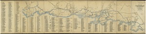
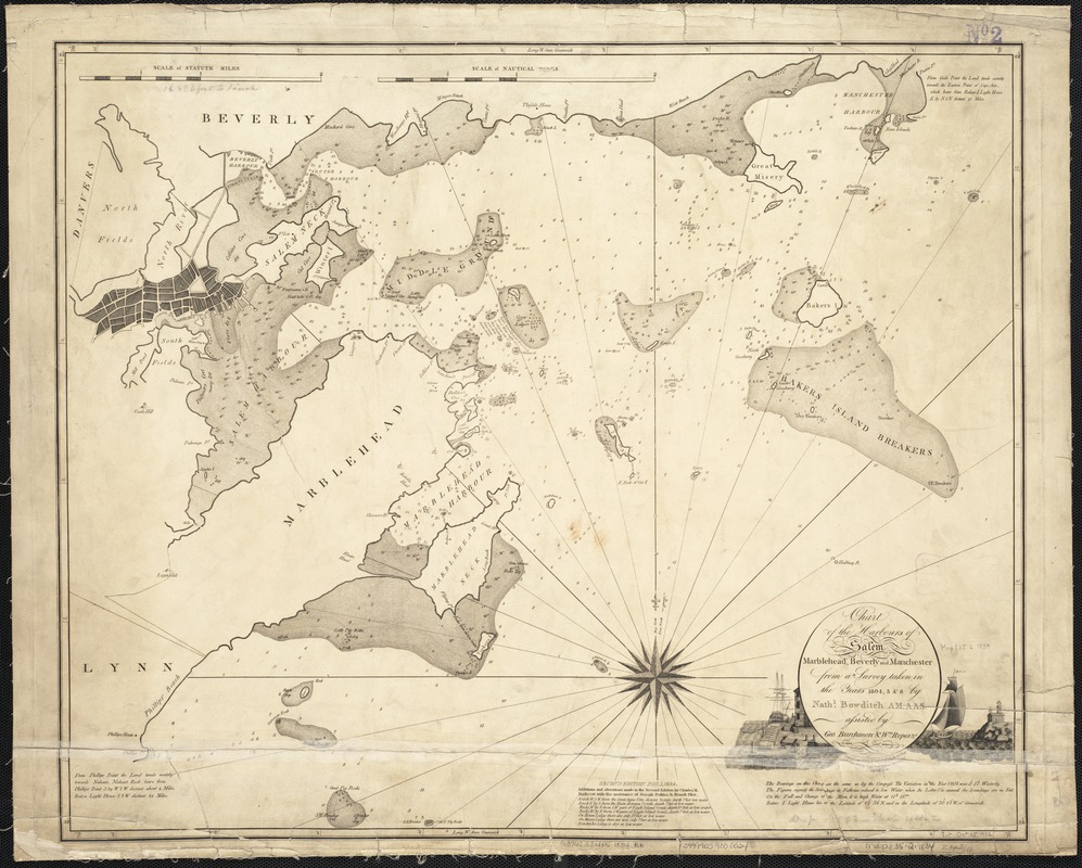
Chart of the harbours of Salem, Marblehead, Beverly and Manchester : from a survey taken in the years 1804, 5 & 6
Item Information
- Title:
- Chart of the harbours of Salem, Marblehead, Beverly and Manchester : from a survey taken in the years 1804, 5 & 6
- Creator:
- Bowditch, Nathaniel, 1773-1838
- Name on Item:
-
by Nathl. Bowditch ; assisted by Geo. Burchmore & Wm. Ropes 3d.
- Date:
-
1834
- Format:
-
Maps/Atlases
- Location:
-
Boston Public Library
Norman B. Leventhal Map Center - Collection (local):
-
Norman B. Leventhal Map Center Collection
- Subjects:
-
Nautical charts--Massachusetts--Beverly
Nautical charts--Massachusetts--Manchester
Nautical charts--Massachusetts--Marblehead
Nautical charts--Massachusetts--Salem
Harbors--Massachusetts--Maps
Salem (Mass.)--Maps
Marblehead (Mass.)--Maps
Beverly (Mass.)--Maps
Manchester (Mass.)--Maps
North Shore (Mass. : Coast)--Maps
- Places:
-
Essex (county)Beverly
Essex (county)Manchester
Essex (county)Salem
Essex (county)Marblehead
- Extent:
- 1 chart ; 53 x 63 cm.
- Terms of Use:
-
No known copyright restrictions.
No known restrictions on use.
- Publisher:
-
S.l :
[s.n.]
- Edition:
- 2nd ed. /
- Scale:
-
Scale 1:217,800
- Language:
-
English
- Notes:
-
Depths shown by soundings.
Relief shown pictorially.
Engraved by Hooker & Fairman.
- Identifier:
-
06_01_003275
- Call #:
-
G3762.S24P5 1834 .B6
- Barcode:
-
39999059000024